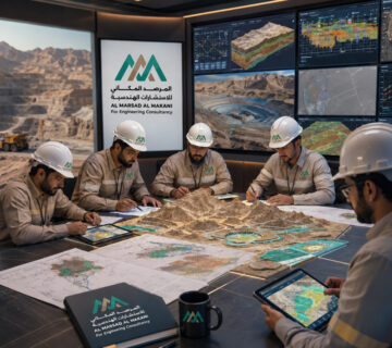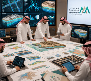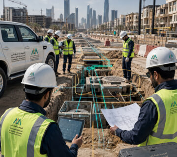






Precise spatial data supporting planning, analysis, and decision-making.
Geomatics, Surveying, and Geographic Information Systems Engineering

The Geomatics, Surveying, and Geographic Information Systems Sector provides the spatial digital infrastructure that modern projects rely on for planning, design, implementation, asset management, and decision-making. The sector specializes in collecting, managing, and analyzing geospatial data and transforming it into accurate strategic information that supports a wide range of engineering and development sectors.
With the rapid pace of digital transformation and the growing reliance on geospatial data in managing cities and major projects, modern geomatics, surveying, and Geographic Information Systems have become essential tools for smart planning, resource management, and infrastructure management. Accordingly, the sector delivers integrated solutions that begin with high-accuracy field data collection, followed by processing and analysis, and ultimately the production of smart maps, digital models, and advanced geospatial databases.
The sector utilizes the latest terrestrial, aerial, and satellite surveying technologies, including high-precision Global Navigation Satellite Systems (GNSS), LiDAR technology, Unmanned Aerial Vehicles (UAVs), remote sensing, and 3D scanning, to produce reliable geospatial data that meets the requirements of major engineering projects, infrastructure developments, and government sectors.
The sector also provides advanced solutions for developing geospatial databases, managing spatial assets, conducting multi-criteria spatial analysis, and implementing Digital Twin technologies, enabling government entities and investors to make informed decisions based on accurate data that can be continuously updated.
The sector contributes to the transition toward smart cities and spatial governance while enhancing the efficiency of project and asset management through an integrated digital environment that connects data, field conditions, and decision-makers.
Key Services
- Topographic Surveying
- Detailed Project Surveying
- Geodetic Control and Network Establishment
- Drone Surveying (UAV Survey)
- LiDAR Surveying
- 3D Laser Scanning
- Digital Elevation and Terrain Model Production (DEM – DTM – DSM)
- Topographic and Thematic Map Production
- Geographic Information Systems (GIS)
- Geospatial Database Development
- Advanced Spatial Analysis
- Remote Sensing and Satellite Image Analysis
- Spatial Asset Management
- Digital Twin Solutions
- Development of Smart Geospatial Platforms and Portals
- Spatial and Temporal Change Analysis
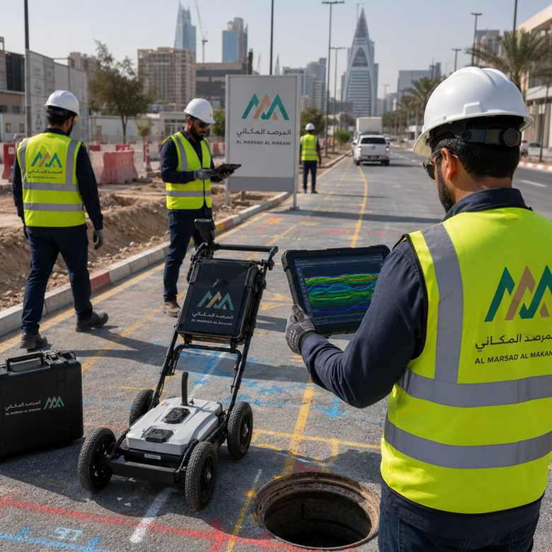
Geophysical Surveying & Ground Penetrating Radar (GPR)
This service focuses on utilizing geophysical surveying and Ground Penetrating Radar (GPR) techniques to detect buried features within the site, such as pipes, cables, service chambers, voids, cavities, and subsurface geological variations. These outputs help mitigate excavation or development risks, providing a clearer reading of visually hidden site dynamics prior to making critical execution decisions.
Detecting buried utilities such as cables, pipes, and service chambers utilizing advanced GPR technologies.
Identifying voids, cavities, and subterranean variations to robustly support excavation and execution choices.
Preparing professional deliverables and maps that facilitate site condition analysis and minimize field hazards.
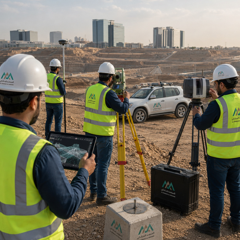
Land Surveying, 3D Laser Scanning & GIS Applications
This service encompasses executing topographic surveying, capturing site control points and elevations, cartography, creating digital terrain models, and conducting high-definition 3D laser scanning for buildings, sites, and industrial facilities. It also incorporates Geographic Information Systems (GIS) applications to organize spatial data and transform it into analytical layers, intelligent mapping, and robust databases that streamline analysis, asset management, and technical decision-making.
Executing topographic surveying and preparing precise mapping of the site, boundary elevations, and existing features.
Utilizing 3D laser scanning to generate high-precision digital twins and models for buildings and complex sites.
Structuring data within GIS environments to produce spatial layers and geodatabases that power analytical modeling and asset management.
Precise spatial data supporting planning, analysis, and decision-making.
Project Scopes Suited for This Sector
- Infrastructure & Road Projects
- Urban Development Projects
- Existing Buildings & Facilities
- Residential & Commercial Master Plans
- Industrial & Operational Sites
- Excavation, Rehabilitation & Maintenance Sites