



Contact Us

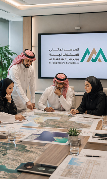
Do you have a project that requires a study or consultation?

network
network

Before Starting

Needs Assessment

objective
objective

Project Location

Site Understanding

creative
creative

Precise Selection

The Right Service

Your Next Step

Discuss Your Project

About us

About us 

Engineering and spatial expertise creating more precise and sustainable solutions

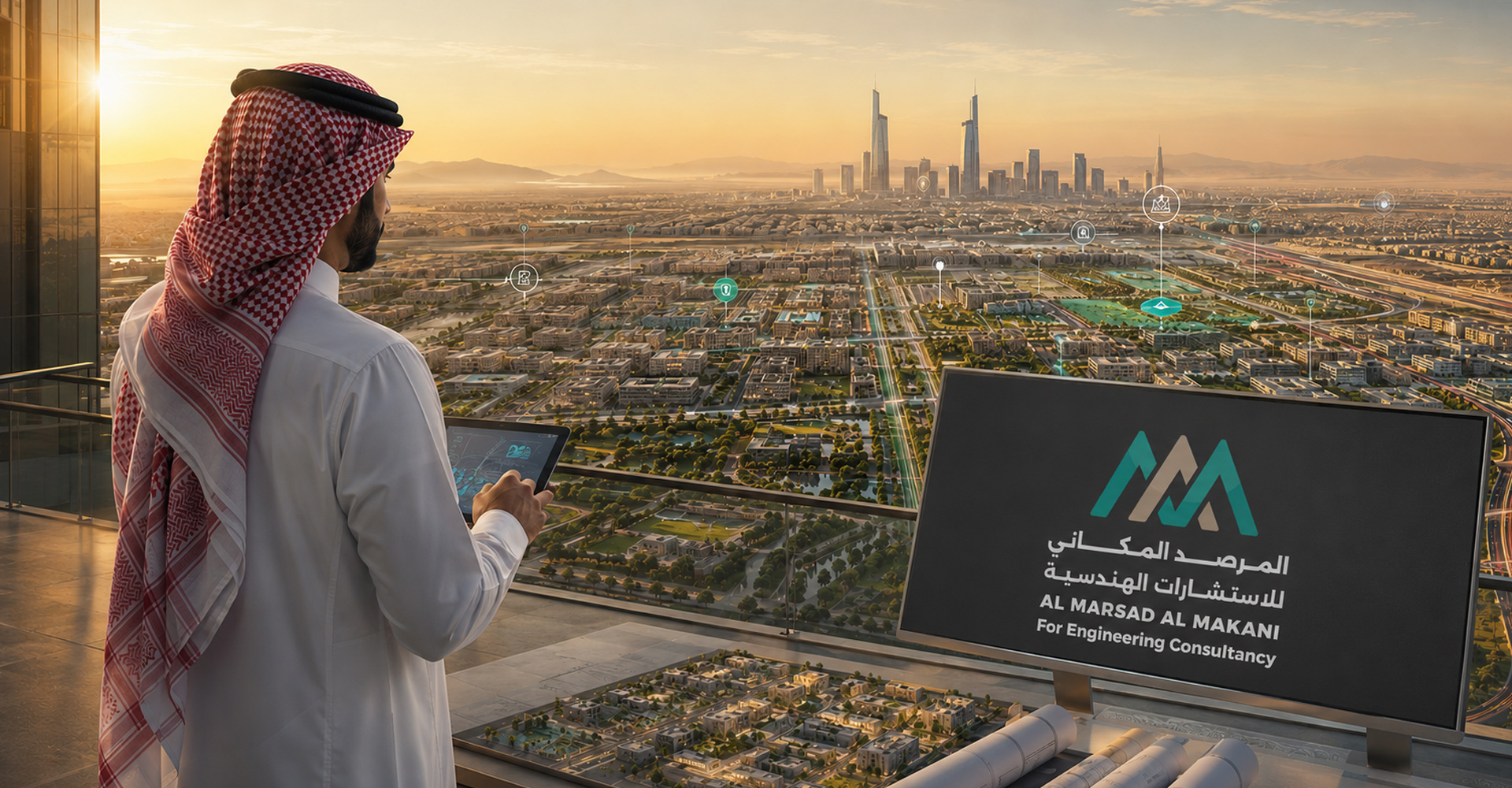
Al Marsad Al Makani is a Saudi consulting firm delivering integrated engineering and spatial solutions across urban planning, infrastructure design, engineering supervision, specialized studies, and advanced surveying. We support projects through a clear understanding of site conditions and client needs, providing accurate deliverables that enable informed decisions and improve project efficiency.

Our multidisciplinary team combines practical experience with advanced technologies in surveying, GIS, hydrology, geophysics, geotechnics, environmental, and geological studies. We aim to add lasting value through precise solutions, clear reports, and structured execution aligned with quality and sustainability standards.

  • Multidisciplinary Expertise
  • Data-Driven Solutions
  • Commitment to Quality & Professionalism
  • Trusted Partner for Mega Projects

Our Numbers Speak

Experience Measured by Achievement
15+Years of Experience
500+Diverse Projects
10+Sectors We Serve

Why Us

A Clearer Decision for a More Precise Project

Transforming Site Data into Actionable Solutions

Choosing an engineering partner isn't just about the scale of experience; it's about deeply reading the site, anticipating challenges, and turning technical data into clear decisions that protect your project from delays, waste, and unforeseen risks.


At Al Marsad Al Makani, our methodology integrates field studies, engineering analysis, spatial tech, and practical insights. This provides a solid foundation for planning and execution, whether for urban development, infrastructure, sensitive sites, or specialized studies.

  • Clearer Vision Before Execution
  • Mitigating Technical & Field Risks
  • Seamless Study-to-Solution Integration
  • Precise & Easily Approved Deliverables
Geological Hazards

Geological Hazards

A Deeper Insight into the Terrain

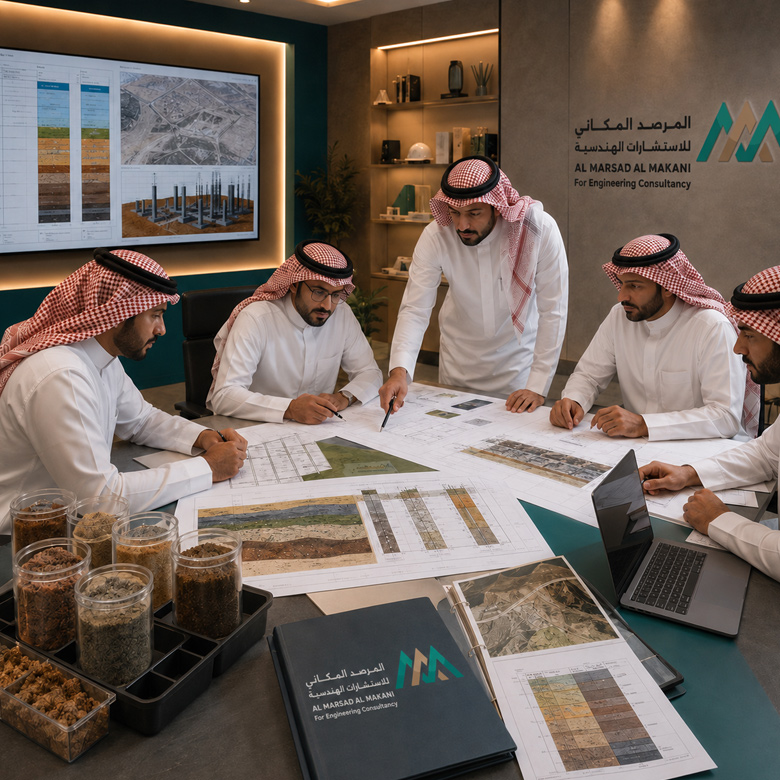
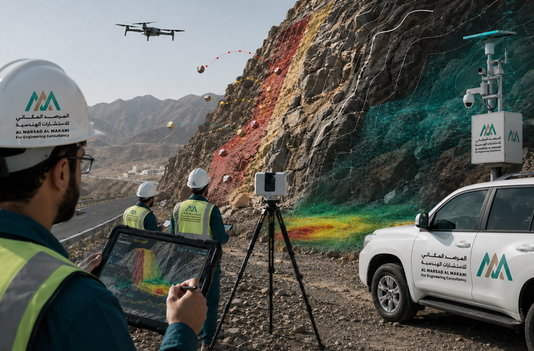
We analyze geological formations and site-specific risks, such as slope stability, rockfalls, sand dune migration, and ground shifts impacting developments. Relying on field surveys, geological analysis, and hazard modeling, this service provides actionable recommendations to elevate safety and minimize unforeseen challenges during execution.

Planning & Infrastructure

Planning & Infrastructure

From Concept to Actionable Master Plans

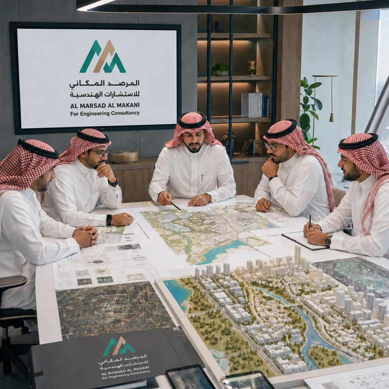
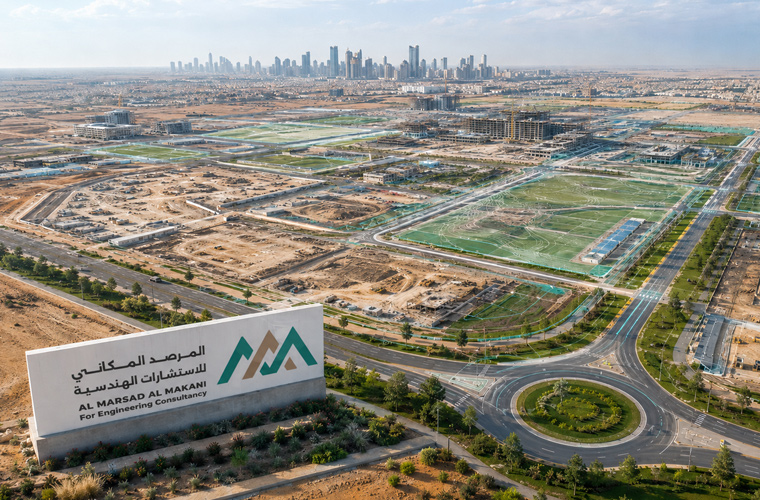
We help urban projects launch from a solid foundation by developing master plans, conducting land-use studies, coordinating utility networks, and designing urban solutions tailored to site conditions and development needs. Our focus is aligning the planning vision with technical requirements, transforming projects into practical, feasible models ready for execution and approval.

Surveying & GIS

Surveying & GIS

Spatial Data That Drives Decisions

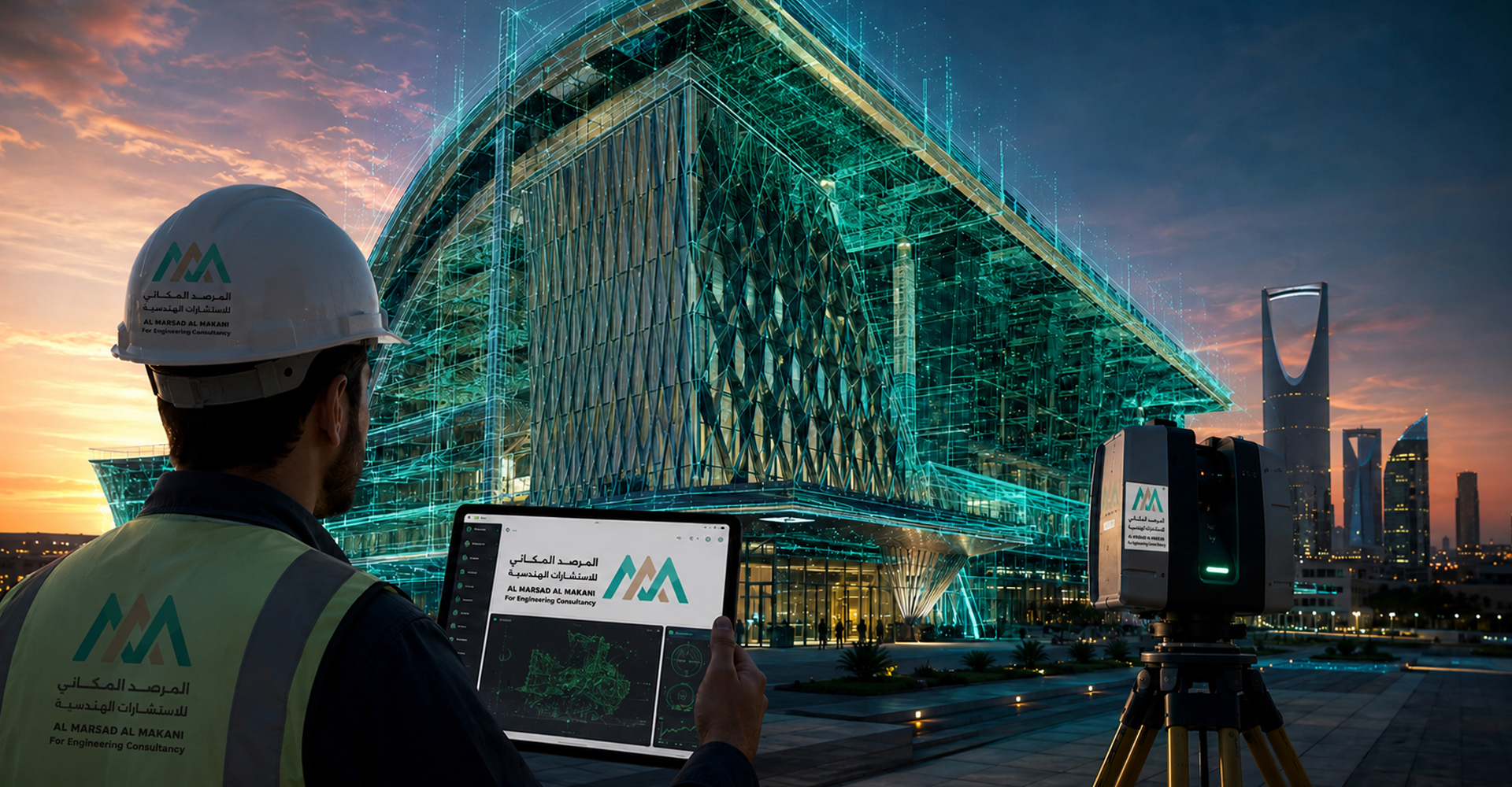
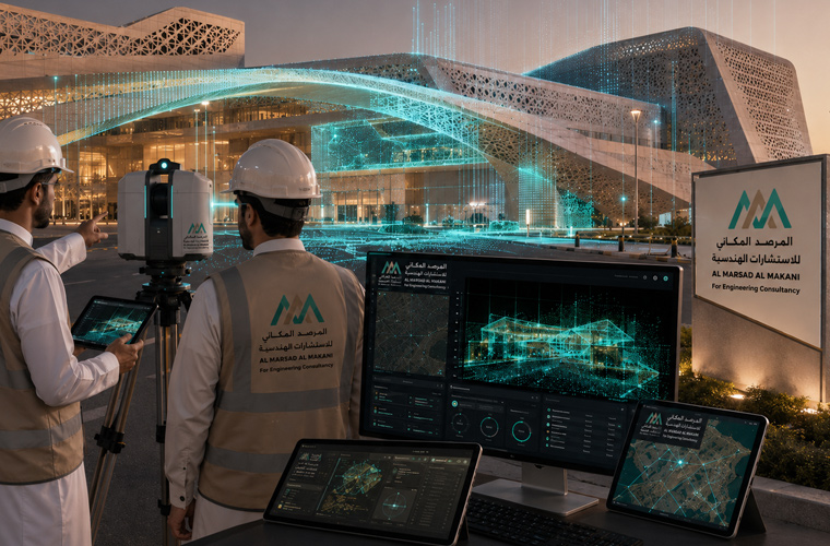
We provide land surveying, 3D scanning, and Geographic Information Systems (GIS) to support projects with precise, organized data. Through topographic maps, elevation models, spatial databases, and asset analysis, clients gain a clearer visualization of the site, empowering them to plan, operate, and monitor with greater confidence.

Engineering & Architectural

Engineering & Architectural Design

Integrated Design Balancing Aesthetics & Functionality

We deliver engineering and architectural design solutions that seamlessly blend aesthetic vision with technical project requirements, spanning architectural, structural, interior, exterior, and landscape design. We transform client needs into thoughtfully planned spaces that optimize usability, quality, visual identity, and execution standards.

Workflow

How We Deliver Your Project? 

We approach every project through a structured, transparent methodology. It begins with a deep understanding of client requirements, site characteristics, and study objectives or scope. We then move to gathering comprehensive field and technical data using tools and technologies tailored to each specific case.

Following this, the data undergoes rigorous engineering and spatial analysis, directly linking it to the project's practical constraints. This proactive approach yields precise results that reveal challenges early and determine optimal solutions well before execution. Through these strategic steps, we deliver actionable, compliance-ready outputs that empower decision-making, mitigate structural and financial risks, and grant clients complete visibility over their project’s trajectory from inception to final handover.

  • Accurate Project Scoping: Defining precise project boundaries and goals right from the start.
  • Reliable Field Data: Gathering trusted, verified on-site field measurements and observations.
  • Integrated Spatial Analysis: Comprehensive engineering and GIS analysis to drive informed decisions.
  • Actionable Deliverables: Providing clear, actionable outputs fully prepared for official approval.
I

٠1 Understanding Requirements

We explicitly define project objectives, scope of work, and required data sets prior to launching any foundational studies..

III

٠3. Analysis & Solutions

We process and transform raw data into highly accurate engineering models, detailed maps, and explicit structural recommendations..

II

٠2. Data Collection

We conduct targeted site visits and deploy advanced surveying and analytical tools specifically adapted to the unique terrain of the location..

IV

٠4. Delivery & Support

We handover compliance-ready reports and final project deliverables, backed by continuous technical support and follow-ups whenever required.

Explore Projects 

Government & Private Sectors

We serve government entities, municipalities, private companies, developers, and consultants with integrated engineering and spatial solutions. We help optimize site understanding, organize data, and support strategic planning or execution decisions aligned with each project's unique requirements.

Development & Infrastructure

We support urban development projects, residential masterplans, roads, utilities, and mixed-use communities. Our comprehensive services encompass strategic planning, land surveying, technical feasibility studies, infrastructure coordination, and professional engineering supervision.

Industry & Sensitive Sites

We deliver specialized services for industrial zones, power plants, operational facilities, environmental areas, mountainous terrains, and natural hazard projects. Our precise, data-driven studies help effectively mitigate structural risks and maximize overall project readiness.
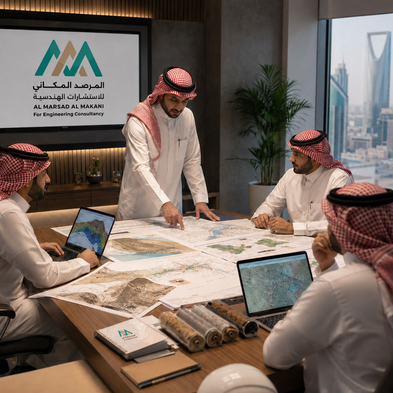
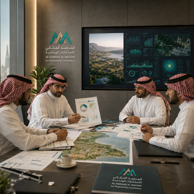
Tagline in English: A premier elite of academic professionals and specialized experts driving innovation and sustainable engineering solutions.

Leadership & Experts


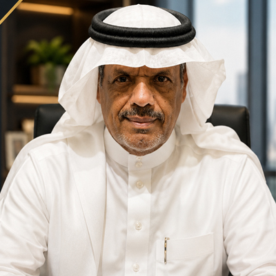
Eng. Mohammed

General Manager

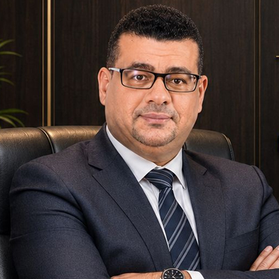
Dr. Ashraf Abdel Karim

Chief Executive Officer (CEO)
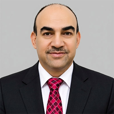
Dr. Mohsen Al-Awawdeh

Projects Director
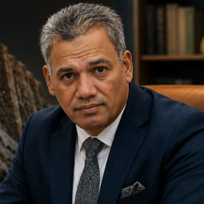
Prof. Dr. Ahmed

Geological & Engineering Hazards
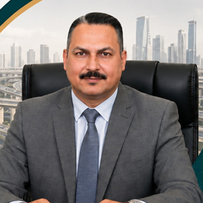
Eng. Abdel Nasser

Transportation Engineering

Eng. Tarek Hamouda

Partner & Head of Hydrology
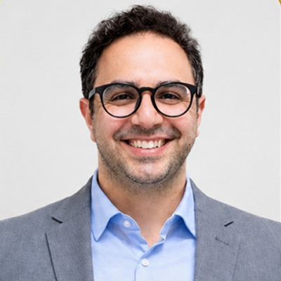
Dr. Yusuf Khalaf

Head of Hydrogeology Department
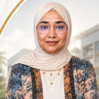
Eng. Soha Abdelgaber

Architectural Engineer & Technical
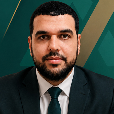
Eng. Hossam Saber

Geomatics & GIS Expert
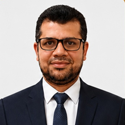
Eng. Ahmed A. Fattah

Infrastructure Design Expert
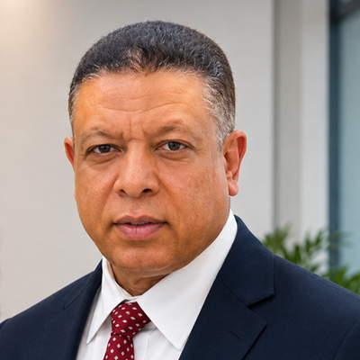
Prof. Ahmed Fawzy

Geotechnical Studies and Soil Engineering
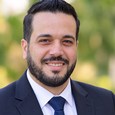
Eng. Mohammed Hamed

Environmental Studies and Safety Expert
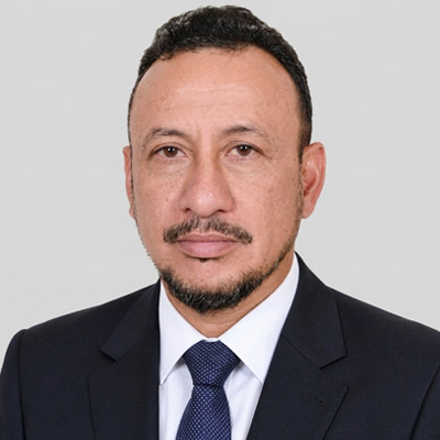
Dr. Adnan Barahim

Professor of Geological and Engineering Hazards
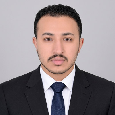
Eng. Abdulrahman Alwan

Structural Engineer
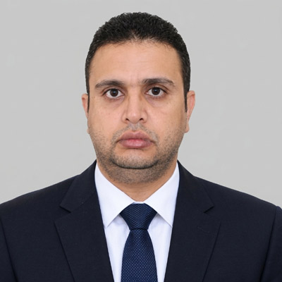
Eng. Hassan Abduljabbar

Technical and Administrative Consultant
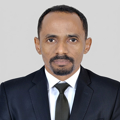
Eng. Al-Waleed Mahmoud

Head of Electrical Engineering Department
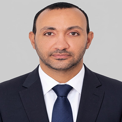
Eng. Darwish Khalil

Head of Mechanical Engineering Department
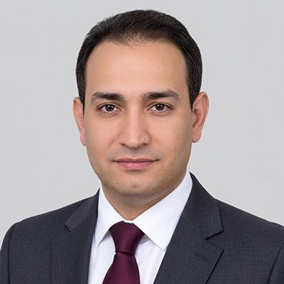
Eng. Sherif Mohamed

Head of Interior Design Department
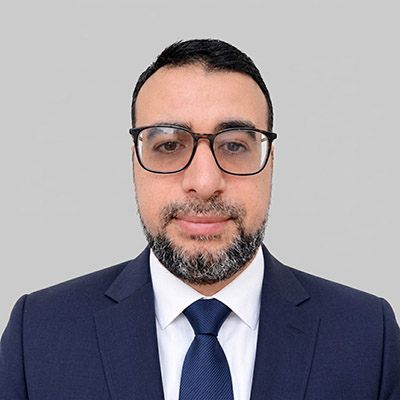
Eng. Ahmed Abdel Hakim

Head of Urban Planning Department

A Trust We Cherish
Success Partners