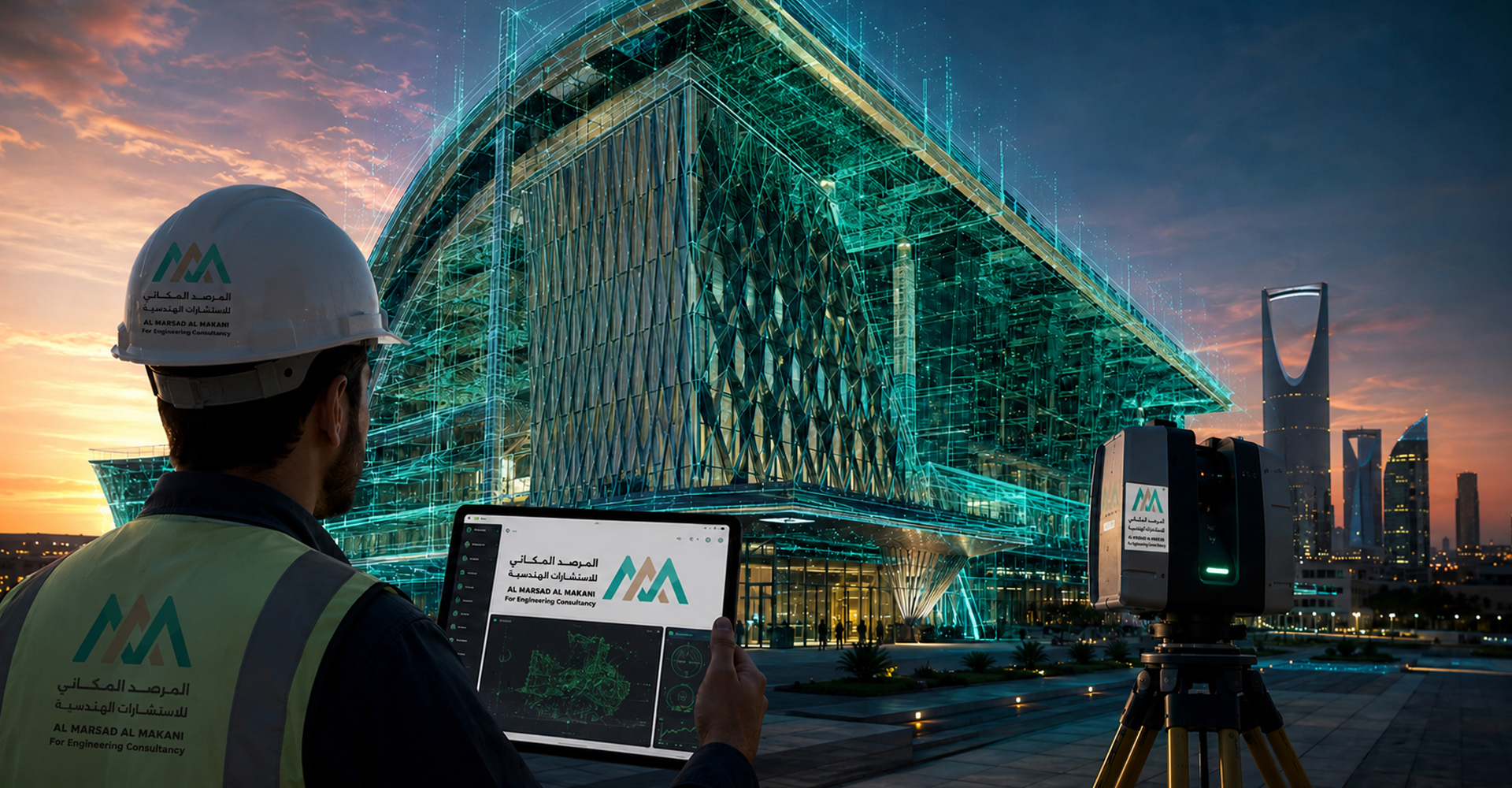
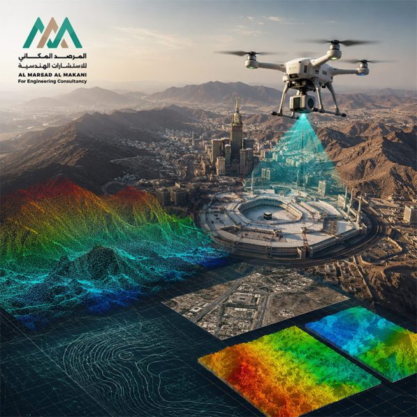
Advanced aerial surveying and production of high-precision 3D spatial models and topographic data. Aerial Surveying Using Drones and LiDAR for ... اقرأ أكثر
Specialized geological and geotechnical studies for assessing slope stability and managing rockfall and rock fracture hazards. . Examples of Geological ... اقرأ أكثر
Specialized studies for watershed and flow-path analysis, flood risk assessment, and the design of protection measures and stormwater drainage networks. ... اقرأ أكثر
Integrated solutions for assessing groundwater resources, selecting suitable well locations, drilling and equipping wells, and supporting the sustainability of water ... اقرأ أكثر