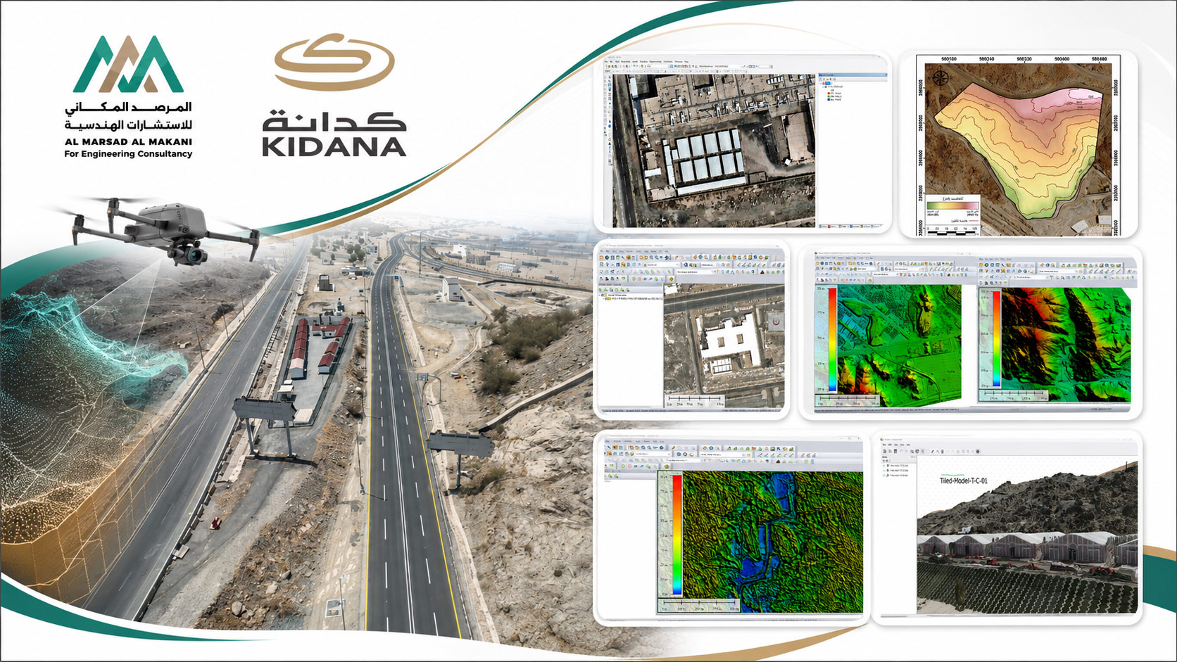






Advanced aerial surveying and production of high-precision 3D spatial models and topographic data.
Aerial Surveying Using Drones and LiDAR for the Holy Sites
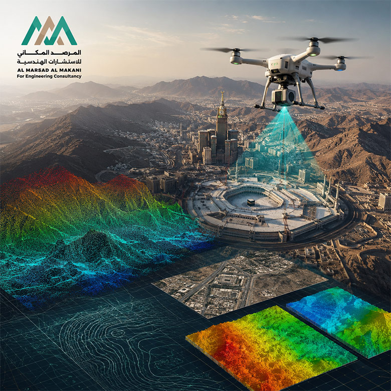
This is a specialized project involving aerial surveying of the Holy Sites using Unmanned Aerial Vehicles (UAVs) and LiDAR technology, aimed at producing highly accurate spatial and topographic data to support planning, analysis, and site management activities. The scope included conducting aerial imaging and survey missions, collecting aerial imagery and LiDAR data, establishing and surveying Ground Control Points (GCPs) to verify output accuracy, processing the collected data, and producing classified point clouds and the required digital project deliverables.
The project also included the production of Digital Elevation Models (DEM), Digital Terrain Models (DTM), and Digital Surface Models (DSM), as well as orthorectified aerial imagery, topographic and contour maps, three-dimensional models, spatial analyses, GIS databases, and digital outputs in accordance with project requirements. The portfolio presents actual samples of 3 cm resolution orthophotos, classified point clouds, contour maps, DTM and DSM models, slope maps, and detailed 3D models.
- Project TypeAerial Surveying and LiDAR, Production of Topographic Data and 3D Spatial Models
- Related ServiceUAV Aerial Surveying and LiDAR Technologies
- OwnerKIDANA
- ConsultantKIDANA
- Sub-ConsultantAl Marsad Al Makani for Engineering Consultancy
- LocationHoly Sites – Makkah – Kingdom of Saudi Arabia
- Project DescriptionAn integrated project for conducting aerial surveying and LiDAR works across the Holy Sites through the planning and execution of survey missions using unmanned aerial vehicles (UAVs), collection of high-resolution aerial imagery and LiDAR data, establishment of Ground Control Points (GCPs), and data processing to produce classified point clouds and digital models of the ground, terrain, and surfaces. The project also included the production of orthorectified aerial imagery, topographic and contour maps, 3D models, spatial analyses, and GIS databases, providing an accurate and multi-purpose spatial database in accordance with project requirements.