Advanced geospatial solutions for analyzing cities, services, and resources, while supporting planning and decision-making. Examples of Geographic Information Systems (GIS), ... اقرأ أكثر
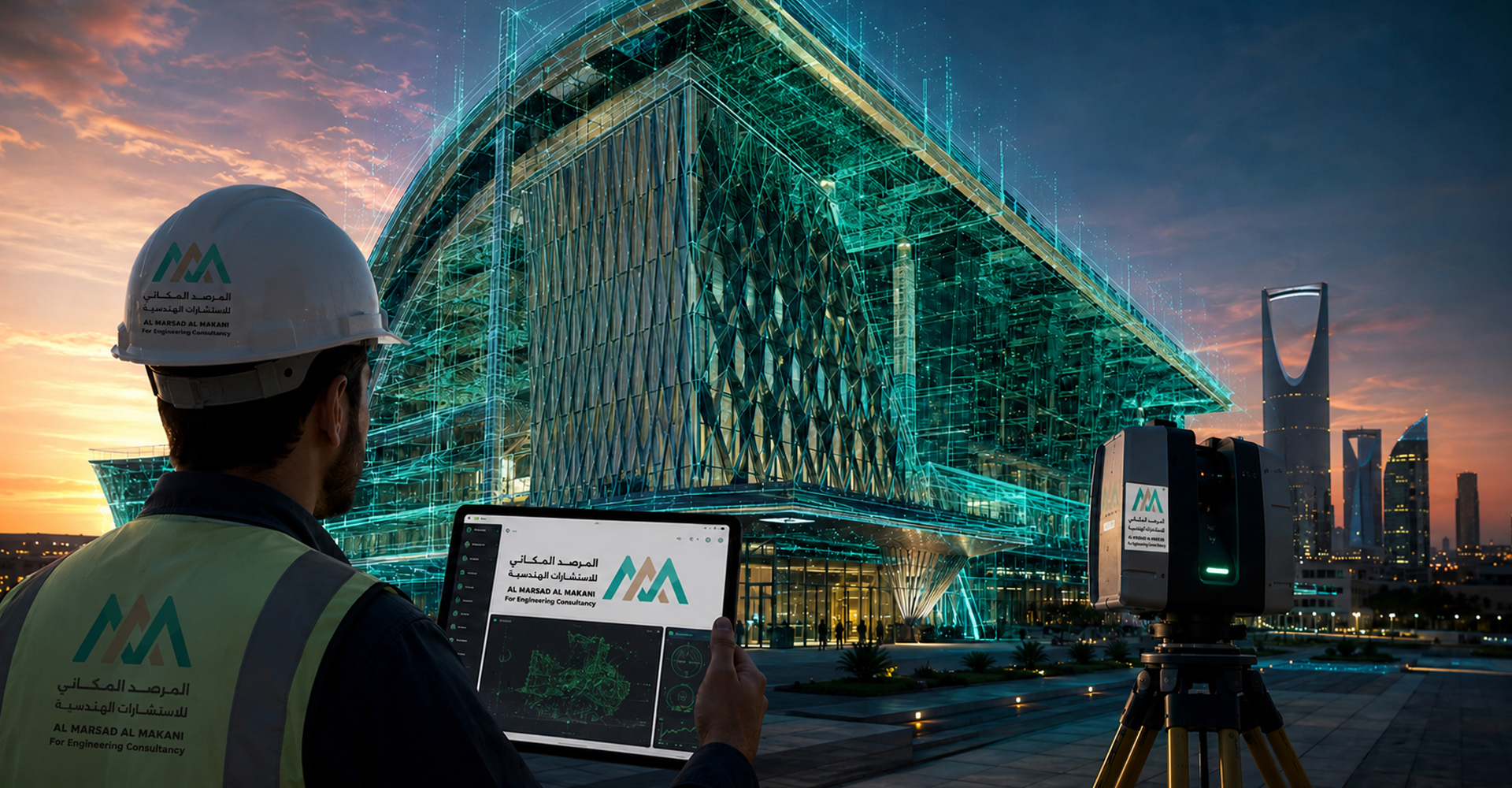
Integrated solutions for topographic surveying, construction surveying, Geographic Information Systems, and 3D laser scanning. Examples of Land Surveying, Topographic Surveying, ... اقرأ أكثر
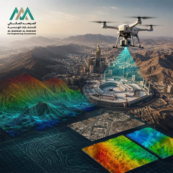
Advanced aerial surveying and production of high-precision 3D spatial models and topographic data. Aerial Surveying Using Drones and LiDAR for ... اقرأ أكثر
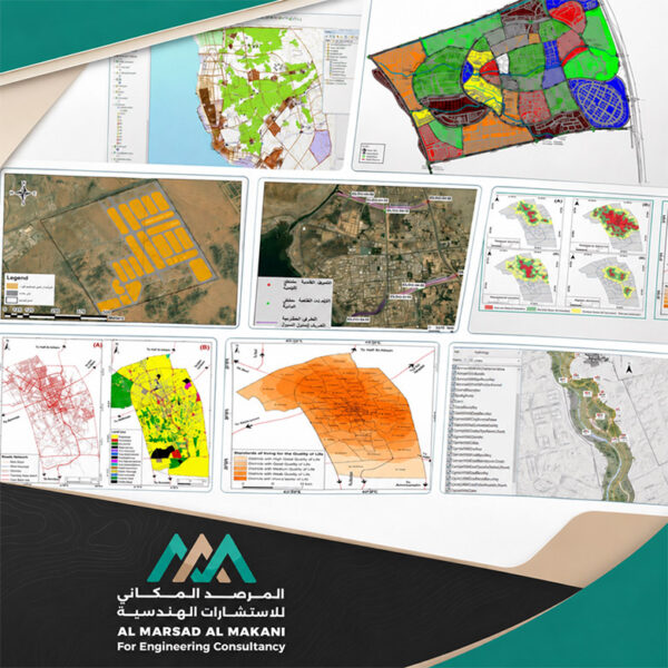
Geospatial Geodatabase Structuring and Advanced Analytical Modeling to Support Urban Sustainability. Project Portfolio of Geographic Information Systems (GIS) and Smart ... اقرأ أكثر