



Specialized geophysical and hydrogeological solutions for groundwater exploration, assessment of soil and rock properties, and support for engineering and archaeological projects. .
Examples of Geophysical Survey, Groundwater Exploration, and Subsurface Investigation Projects
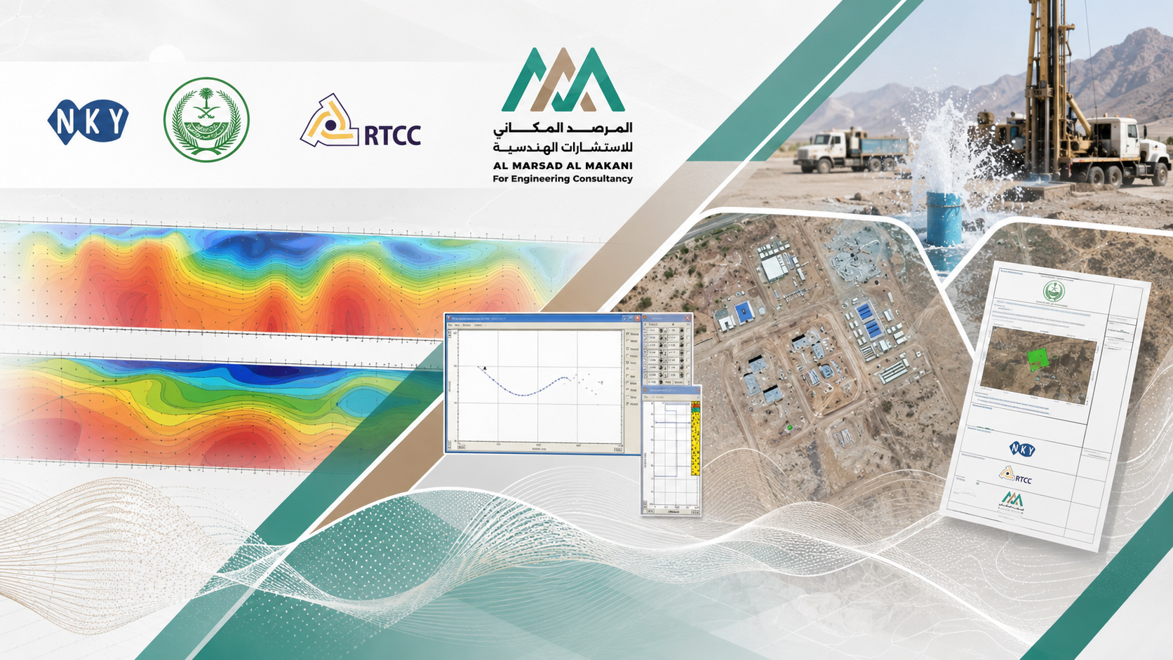
This portfolio includes a diverse range of geophysical and hydrogeological surveys and studies carried out by Al Marsad Al Makani for various engineering and development projects across the Kingdom of Saudi Arabia. The scope included groundwater exploration and assessment, identifying optimal locations for well drilling, engineering seismic surveys and evaluation of the dynamic properties of soil, investigation of bedrock, subsurface voids, and fractures, as well as geophysical survey applications at historical and archaeological sites.
The projects relied on a range of specialized techniques, including MASW, TEM, VES, ERT, and GPR, together with seismic wave analysis and interpretation of geophysical models and subsurface data. These studies support engineering decision-making, selection of well locations and drilling depths, groundwater aquifer assessment, seismic site classification, determination of geotechnical properties of soil and rock, and preparation of the maps, technical reports, and recommendations required for project development and implementation.
Specialized geophysical and hydrogeological solutions for groundwater exploration, assessment of soil and rock properties, and support for engineering and archaeological projects. .
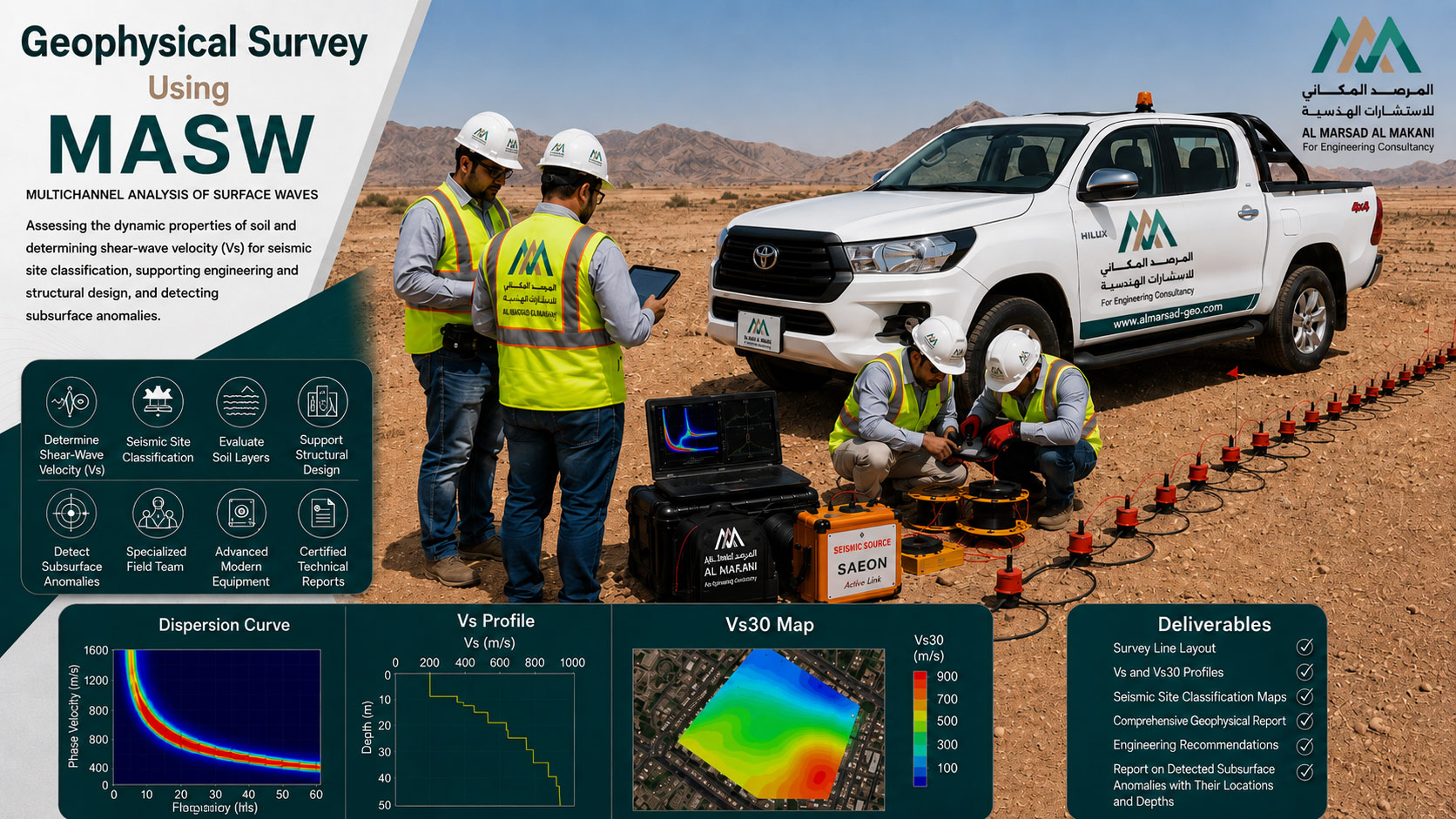
Geophysical Survey Project Using MASW Technology
- Project TypeGeophysical Survey and Dynamic Soil Assessment
- TechnologyMultichannel Analysis of Surface Waves – MASW
- Project DescriptionA specialized MASW survey project aimed at determining the shear-wave velocity (Vs) and classifying the site seismically in order to evaluate the dynamic properties of the soil. The work included carrying out geophysical field surveys using MASW technology and providing the parameters required for structural design and foundation design. The scope also included field survey line execution, data acquisition, surface-wave analysis, and interpretation of the resulting geophysical profiles. The study supported the determination of soil layers and the assessment of subsurface conditions, with the objective of calculating Vs30, developing Vs Profiles, and classifying the site in accordance with seismic design requirements. The final outputs included the geophysical and seismic classification report, soil and foundation recommendations, Vs30 results, survey profiles and sections showing shear-wave velocities, and maps illustrating the spatial distribution of seismic-wave velocity values across the study area.
Specialized geophysical and hydrogeological solutions for groundwater exploration, assessment of soil and rock properties, and support for engineering and archaeological projects. .
Study to Identify Optimal Locations for Deep Wells – Madinah
- Project TypeHydrogeological and Geophysical Study for Groundwater Exploration
- LocationMadinah
- ContractorBeijing Emirates International Construction Company
- ConsultantNKY
- Al Marsad’s RoleSub-Consultant
- Project DurationOne Month
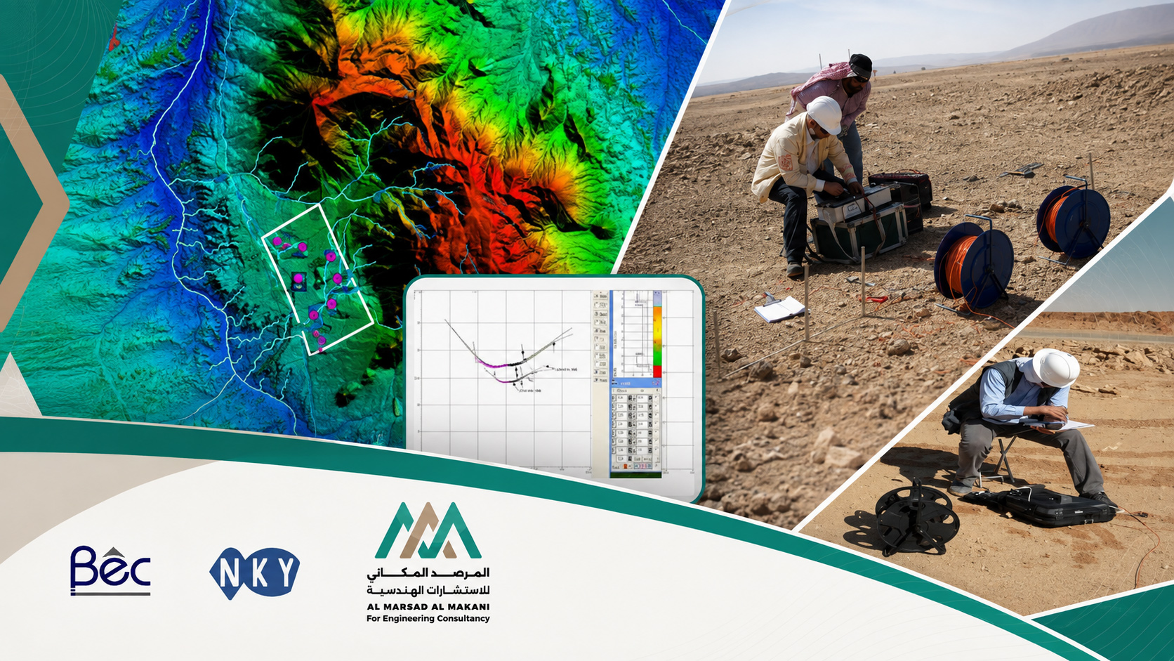
- Project DescriptionA hydrogeological and geophysical study aimed at assessing the presence of groundwater-bearing formations and identifying the most suitable locations for drilling deep wells in Madinah. The scope included evaluating groundwater storage capacity and aquifer sustainability, identifying optimal drilling locations and depths using electromagnetic surveys and Vertical Electrical Sounding (VES) resistivity measurements, estimating the expected average groundwater pumping rates from the aquifer, and preparing the proposed well design to support the efficient and technically sound utilization of available water resources.
Specialized geophysical and hydrogeological solutions for groundwater exploration, assessment of soil and rock properties, and support for engineering and archaeological projects. .
Study to Identify Optimal Locations for Deep Wells – Makkah
- Project TypeHydrogeological and Geophysical Study for Groundwater Exploration
- LocationMakkah
- ContractorBeijing Emirates International Construction Company
- ConsultantNKY
- Al Marsad’s RoleSub-Consultant
- Project DurationOne Month
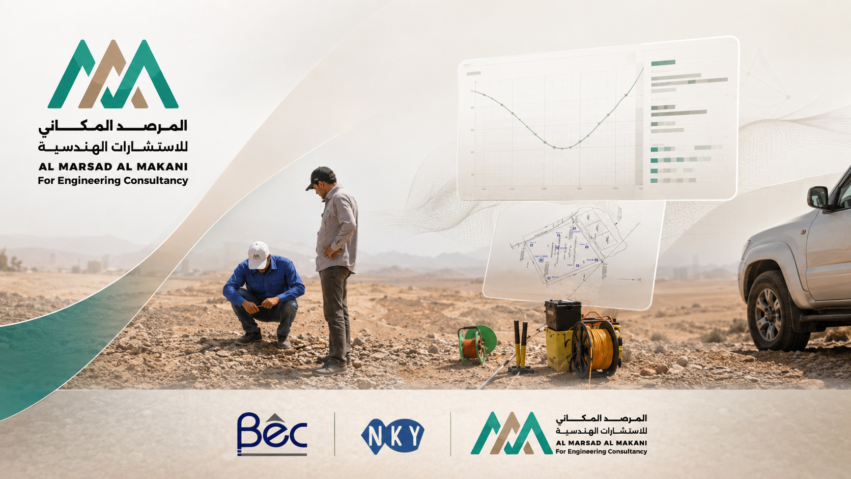
- Project DescriptionA specialized study to assess groundwater potential and identify suitable locations for drilling deep wells in Makkah, based on electromagnetic surveying techniques and Vertical Electrical Sounding (VES) to identify geological formations and layers that may represent groundwater aquifers. The study also included evaluating groundwater storage capacity and the sustainability of the water resource, identifying the most suitable drilling locations and optimal depths, estimating the expected pumping rates from the aquifer, and preparing the appropriate well design based on the study results and geophysical interpretation.
Specialized geophysical and hydrogeological solutions for groundwater exploration, assessment of soil and rock properties, and support for engineering and archaeological projects. .
Seismic and Engineering Study for the New Naval Base – Yanbu
- Project TypeEngineering Seismic and Geophysical Study
- LocationYanbu – Kingdom of Saudi Arabia
- ContractorRW Armstrong – KSA Branch
- ConsultantRW Armstrong – KSA Branch
- Al Marsad’s RoleSub-Consultant
- Project DurationOne Month
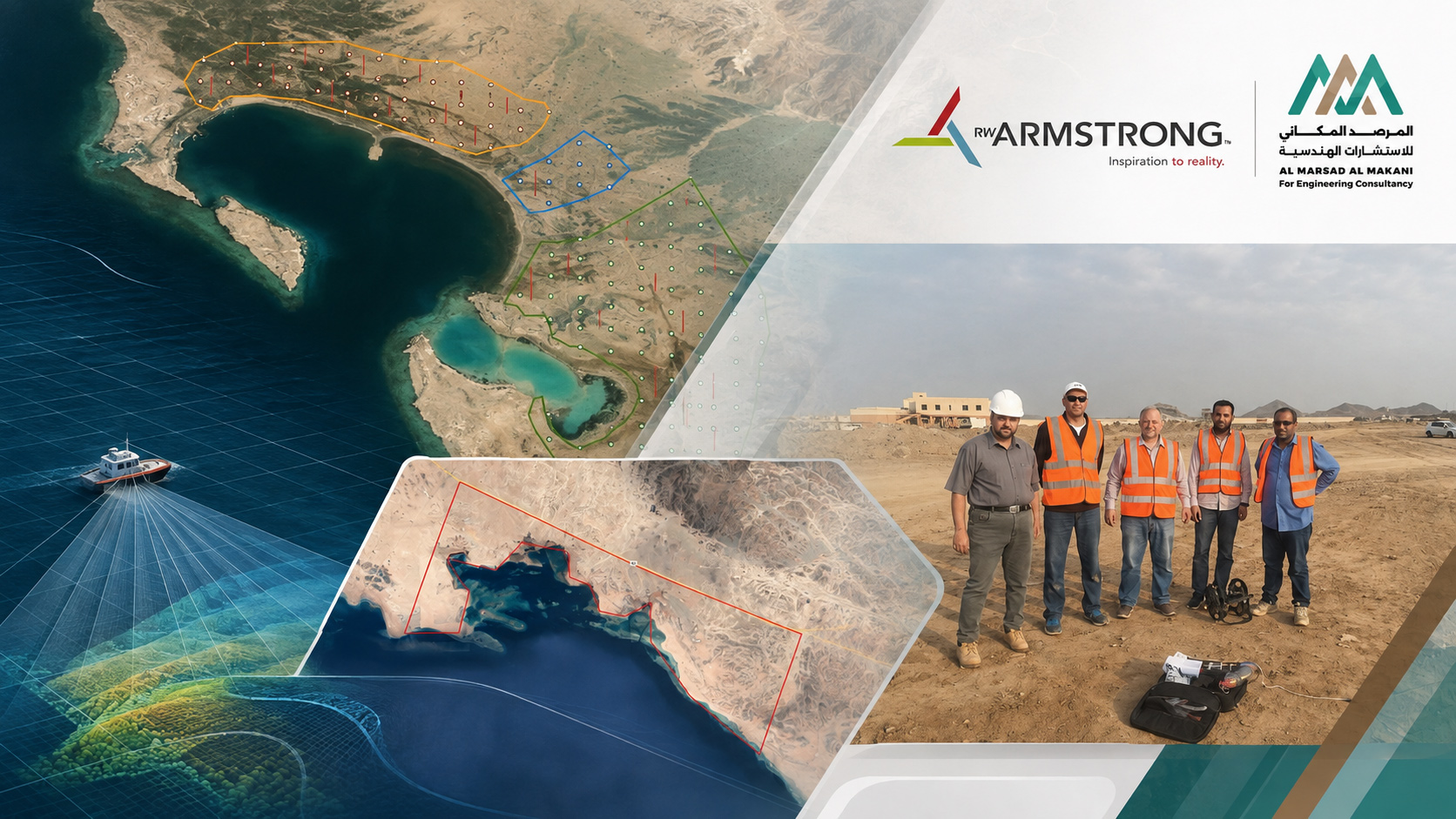
- Project DescriptionA seismic and engineering study for the New Naval Base project in Yanbu, aimed at characterizing subsurface geological and geotechnical conditions and providing the information required to support the project’s engineering and civil design. The scope of work included determining the thickness of surface cover layers and bedrock topography, measuring seismic wave velocities and evaluating the site characteristics relevant to geotechnical and civil works. It also included detecting cavities, voids, fracture zones, cracks, and subsurface soil conditions, as well as determining the elastic properties of soil and rock. The study provided a comprehensive technical database to support the project’s design and implementation decisions.
Specialized geophysical and hydrogeological solutions for groundwater exploration, assessment of soil and rock properties, and support for engineering and archaeological projects. .
Archaeological Geophysical Survey Using GPR and ERT – Samhan District, Historic Diriyah
- Project TypeArchaeological and Geophysical Survey
- LocationSamhan District – Historic Diriyah
- ContractorDiriyah Gate Development Authority
- ConsultantDiriyah Gate Development Authority
- Al Marsad’s RoleSub-Consultant
- Project DurationOne Month
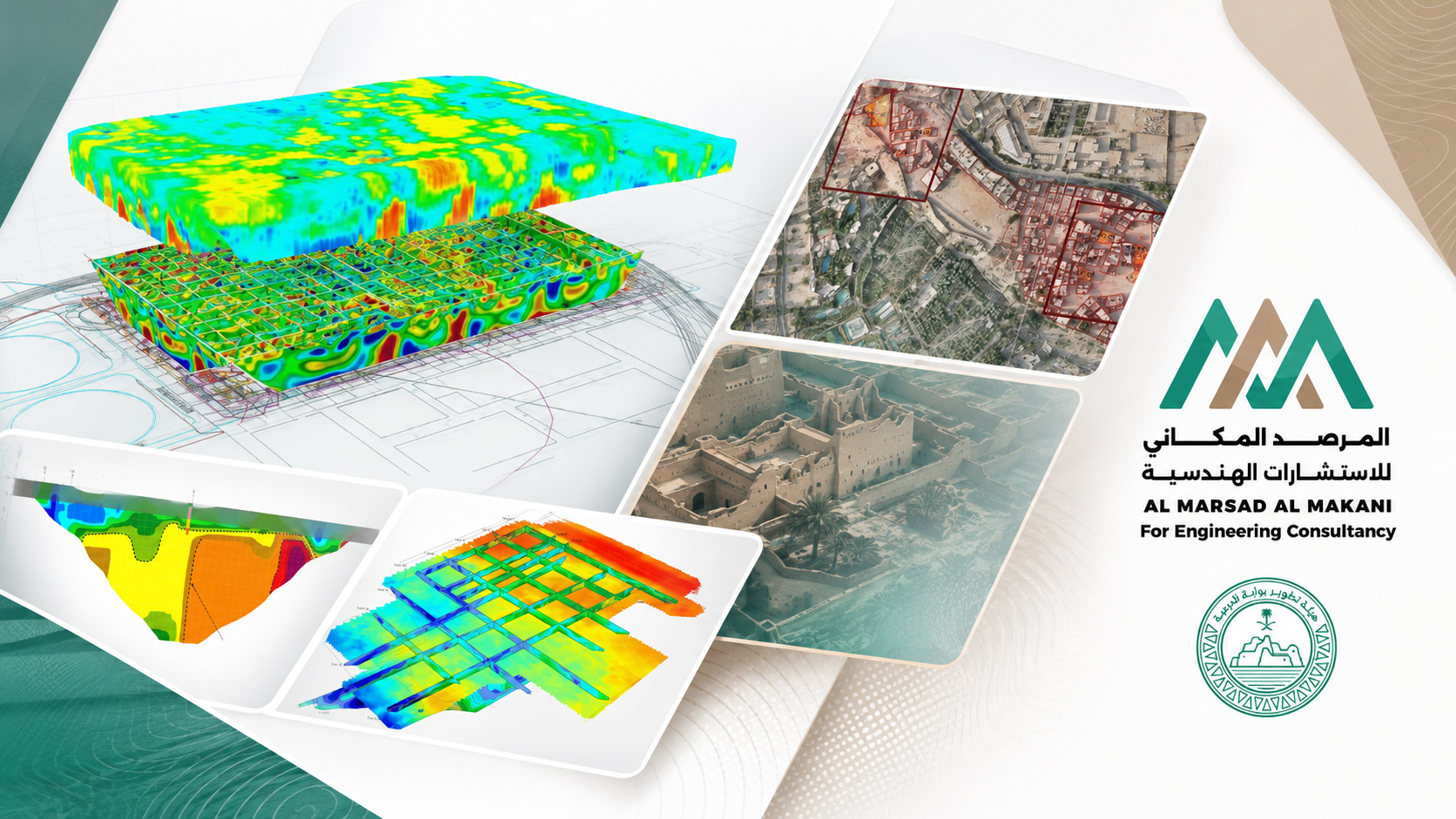
- Project DescriptionAn archaeological geophysical survey project in Samhan District, Historic Diriyah, utilizing Ground Penetrating Radar (GPR) and Electrical Resistivity Tomography (ERT) to investigate subsurface characteristics and formations and support archaeological exploration and interpretation. The scope included electrical resistivity imaging, field survey activities, data processing and analysis, as well as advanced interpretation of GPR data and inversion of geophysical datasets. The project concluded with the preparation of a final technical report, models, sections, and interpretive maps to provide a clearer understanding of subsurface features, structures, and anomalies across the site.
Specialized geophysical and hydrogeological solutions for groundwater exploration, assessment of soil and rock properties, and support for engineering and archaeological projects. .
Hydrogeological and Geophysical Study for the Arar Airport Development Project – Eastern Province
- Project TypeGroundwater Exploration and Assessment and Identification of Production Well Locations
- LocationArar Airport – Eastern Province
- ContractorAl Rubu’ Al Aali Contracting
- ConsultantHILL International
- Al Marsad’s RoleSub-Consultant
- Project DurationOne Month
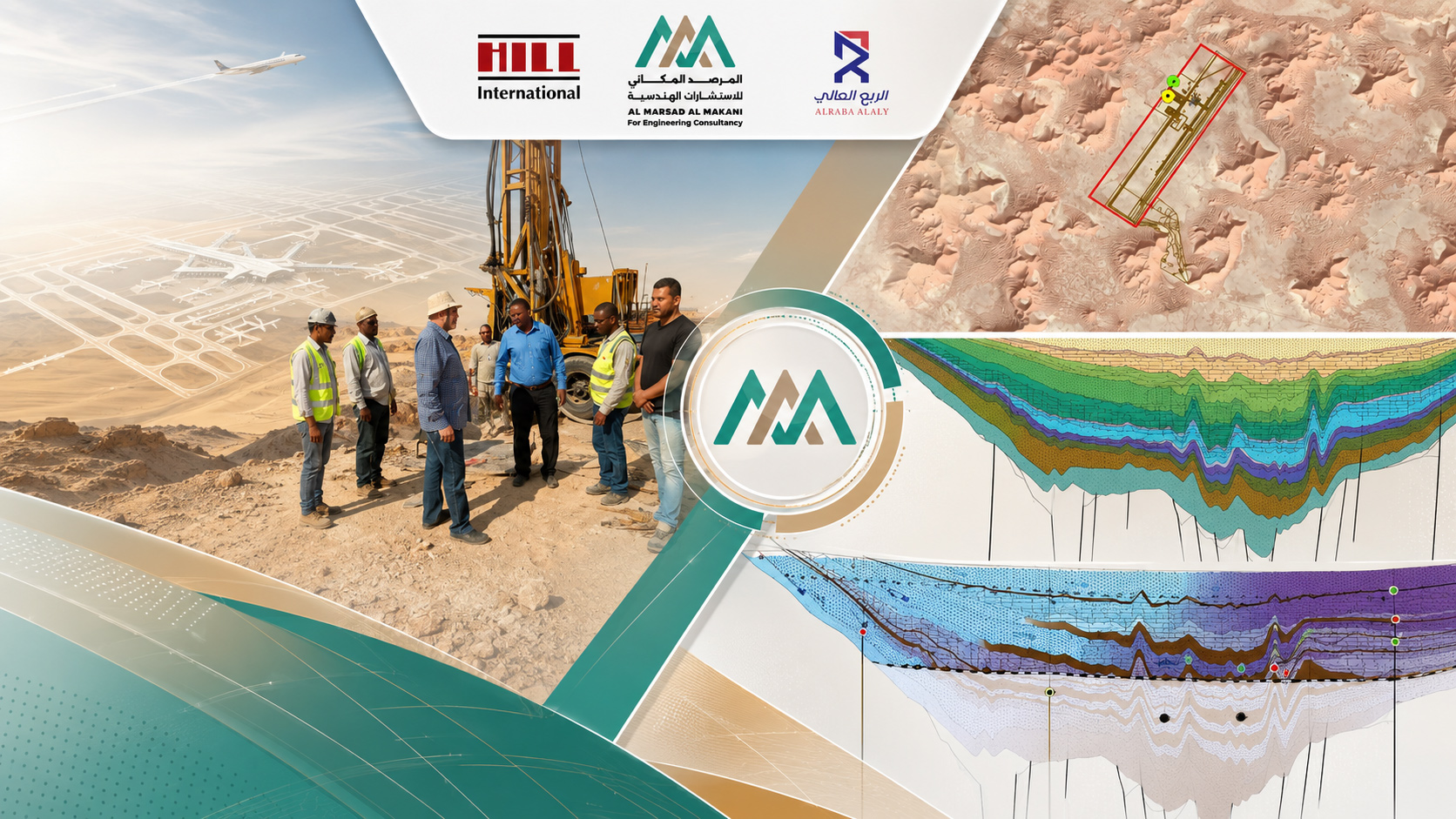
- Project DescriptionAn integrated hydrogeological and geophysical study for groundwater exploration and assessment and to identify suitable locations for production wells for the Arar Airport development project in the Eastern Province. The scope included reviewing and analyzing aerial imagery, geological maps, available groundwater geophysical data, and previous studies. Geophysical surveys were then conducted using Time Domain Electromagnetic (TEM) and Vertical Electrical Sounding (VES) techniques. The results were interpreted to develop a subsurface model, determine sediment thickness, and assess the extent and characteristics of water-bearing formations. The study also included evaluating aquifer capacity, sustainability, recharge sources, and expected production rates, identifying and prioritizing proposed well locations, determining the required drilling depths and number of wells, and preparing technical recommendations for well design. The final deliverables included the technical report, interpretation maps, and proposed drilling locations.
Specialized geophysical and hydrogeological solutions for groundwater exploration, assessment of soil and rock properties, and support for engineering and archaeological projects. .
Groundwater Potential Study for Emergency Forces Camp Housing – Site 35
- Project TypeGeophysical Study for Groundwater Exploration
- TechnologiesTEM وVES
- ContractorRTCC
- ConsultantNKY
- Al Marsad’s RoleSub-Consultant
- Project DurationOne Month
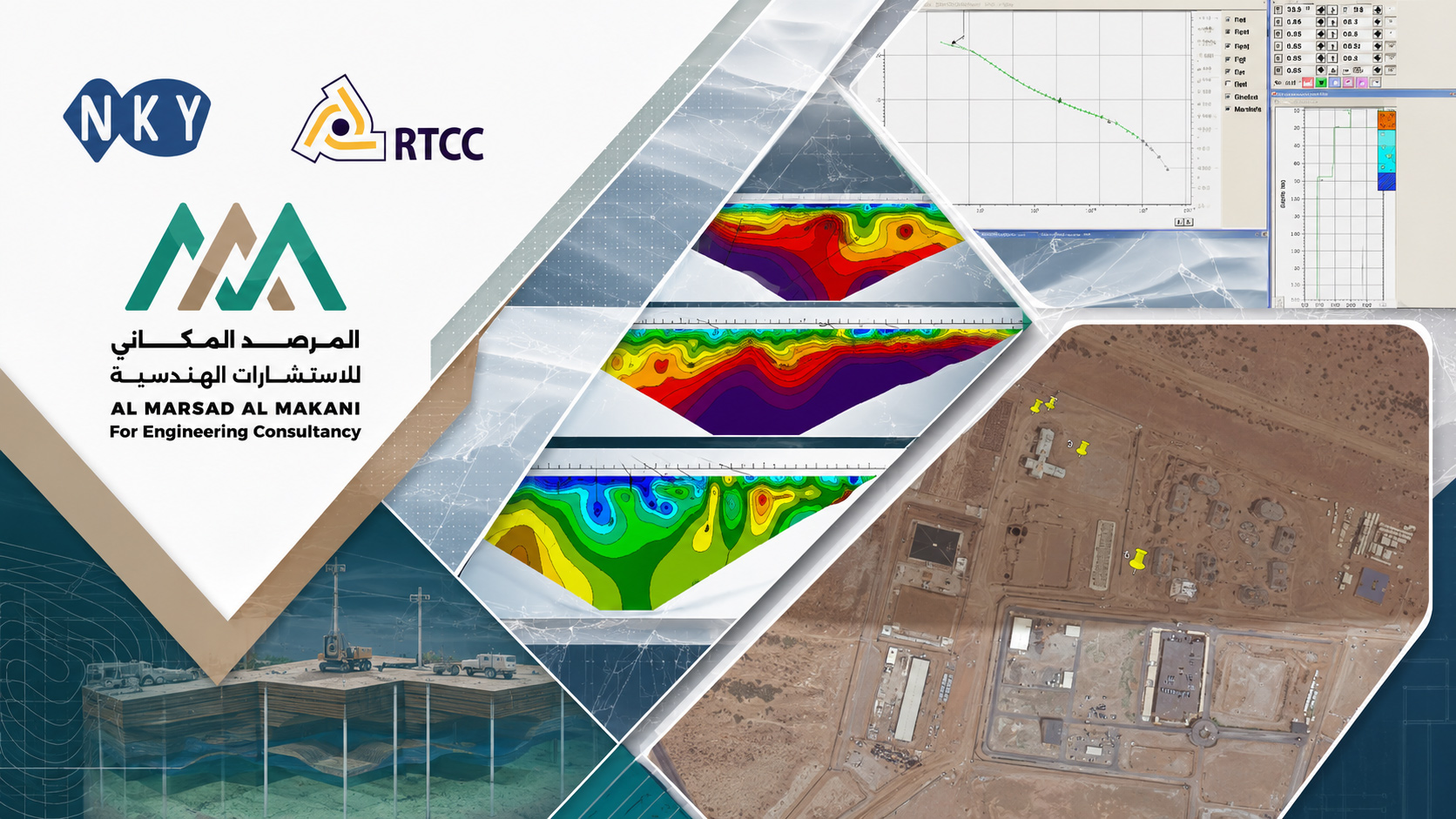
- Project DescriptionA geophysical study to assess groundwater potential for the housing site of Emergency Forces Camp No. 35. The study utilized Time Domain Electromagnetic (TEM) and Geoelectrical Resistivity Sounding (VES) techniques to investigate subsurface geological formations and identify potential groundwater-bearing layers. The scope included reviewing available geological and hydrogeological data and site information, conducting geophysical surveys, processing and analyzing the data using specialized software, and developing subsurface resistivity models. The study also included geological interpretation of potential aquifers and their characteristics, assessment of the extent, thickness, and productivity of groundwater-bearing units, identification of the most suitable locations for production wells, determination of proposed drilling depths, and prioritization of the recommended well locations. The project concluded with the preparation of an integrated technical report containing the results, interpretations, and final recommendations.
Specialized geophysical and hydrogeological solutions for groundwater exploration, assessment of soil and rock properties, and support for engineering and archaeological projects. .
Groundwater Potential Study for Emergency Forces Camp Housing – Site 32
- Project TypeGeophysical Study for Groundwater Exploration
- TechnologiesTEM وVES
- ContractorRTCC
- ConsultantNKY
- Al Marsad’s RoleSub-Consultant
- Project DurationOne Month
- Project DescriptionA specialized study to assess groundwater potential at Emergency Forces Camp Housing Site No. 32 using TEM and VES techniques. The study aimed to identify subsurface geological formations, evaluate groundwater-bearing aquifers, and support decision-making regarding the locations of production wells. The scope included reviewing and evaluating available data, conducting geophysical surveys, processing the data and converting it into subsurface resistivity models, interpreting the geological results, and identifying water-bearing formations and assessing their extent, thickness, and productivity. The study also included identifying the optimal drilling locations and proposed depths, prioritizing the recommended well sites, and preparing a comprehensive technical report, interpretation maps, and final recommendations.