




Geophysical Exploration Technology and Securing Massive Digital Facilities.
Ground-Penetrating Radar (GPR) Survey for Cavity Detection at the Desert Dragon Data Center
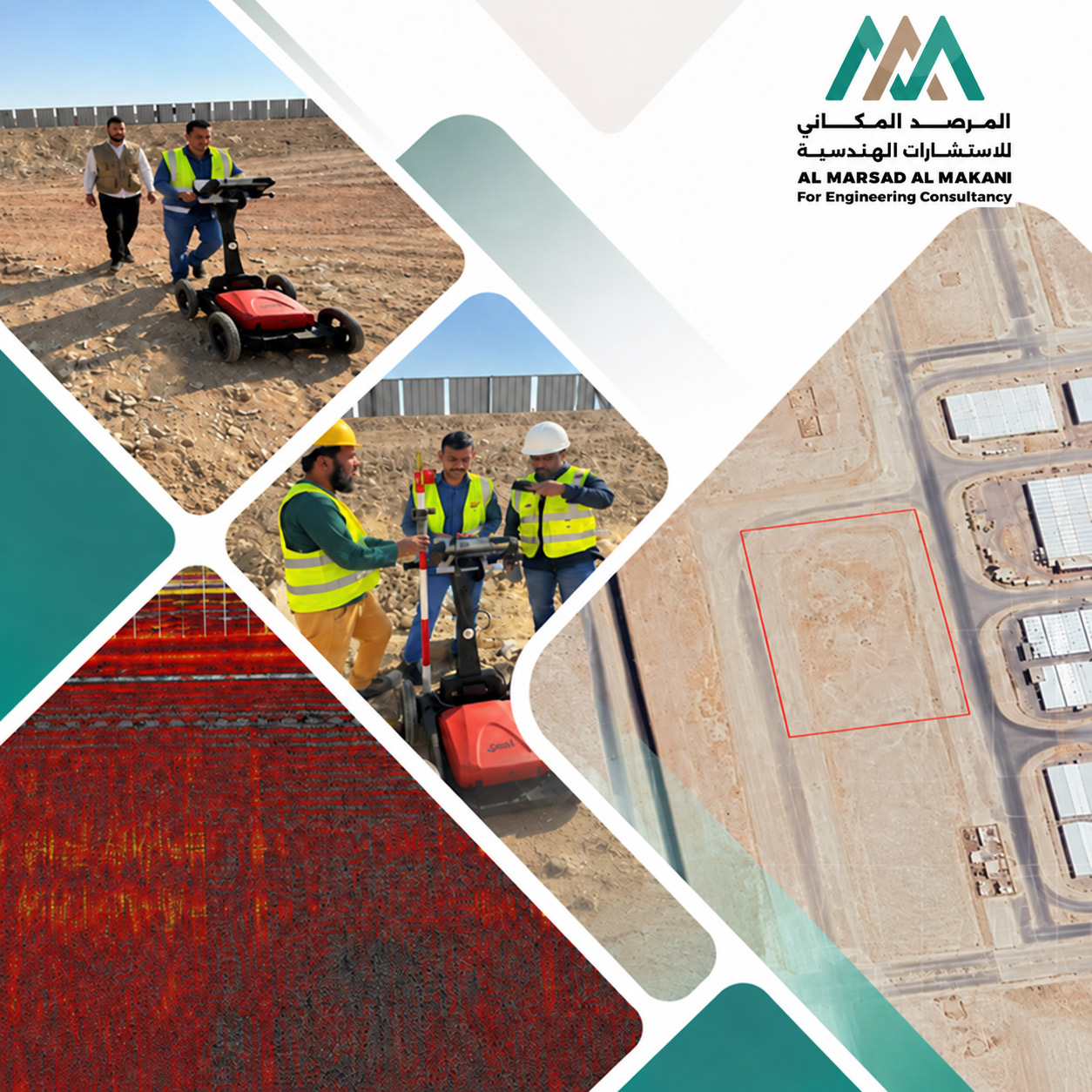
This project represents a strategic model for advanced radar inspection applications and engineering geophysics to protect sensitive digital infrastructure in the Al-Kharj Industrial City. The scope of work involved designing inspection paths and governing subsurface exploration operations executed for the Saudi Authority for Industrial Cities and Technology Zones (MODON), in collaboration with ICS ARABIA. This contribution significantly enhances site readiness while optimizing execution feasibility and safe field operations for the massive data center complex.
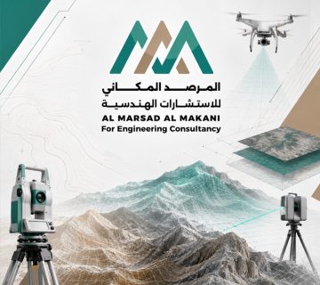
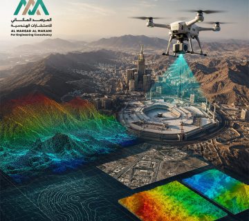
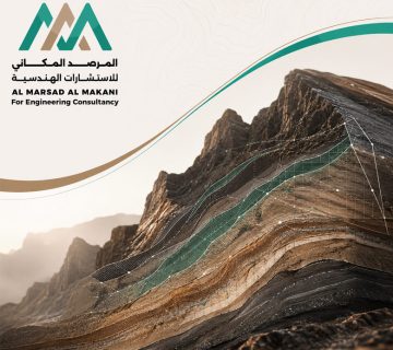
The project focused on studying and exploring subsurface soil layers from a comprehensive engineering perspective. This included deploying high-frequency, high-precision Ground-Penetrating Radar (GPR) waves to penetrate the soil and generate integrated grid-based survey maps. The primary objective was to detect any caves, caverns, or subsurface cavities that could threaten the structural integrity of the foundations supporting the data center's server racks and critical systems. Additionally, it involved locating existing underground utilities and determining bedrock layer thicknesses, alongside civil, geophysical, and coordination works to ensure a more secure and sustainable tech facility in line with building codes and general aesthetics.
Geophysical Exploration Technology and Securing Massive Digital Facilities.
Scope of Work
- Executing Grid-Based GPR Surveys (GPR Acquisition & Processing)Conducting intensive geophysical field testing and advanced digital processing across the entire designated data center construction footprint to verify that the subsurface is free from any anomalies or random voids.
- Delineating Subsurface Cavities and CavernsPlotting detailed digital maps of subsurface anomalies and air pockets, and pinpointing their exact depths with ultimate precision to guide geotechnical engineering soil remediation.
- Site Inspection and Quality Control (QC) OperationsCorrelating radar survey data with geotechnical borehole paths to deliver an integrated hydrological and geological analysis that ensures the structural stability of the digital facility.
Al Marsad Al Makani provided engineering design, quality control, geophysical exploration, and radar inspection services across multiple technological and vital projects in the Al-Kharj Industrial Area. This was accomplished by coordinating and monitoring survey phases and aligning them with approved building code requirements and relevant stakeholders. The scope of work also included developing executable site solutions, cross-referencing extracted geophysical data with architectural and structural blueprints, and supporting technical and field execution to guarantee seamless integration between civil, architectural, electrical, and mechanical (MEP) aspects within the project scope.
Services Provided in the Project
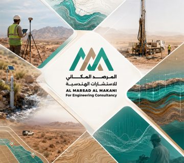
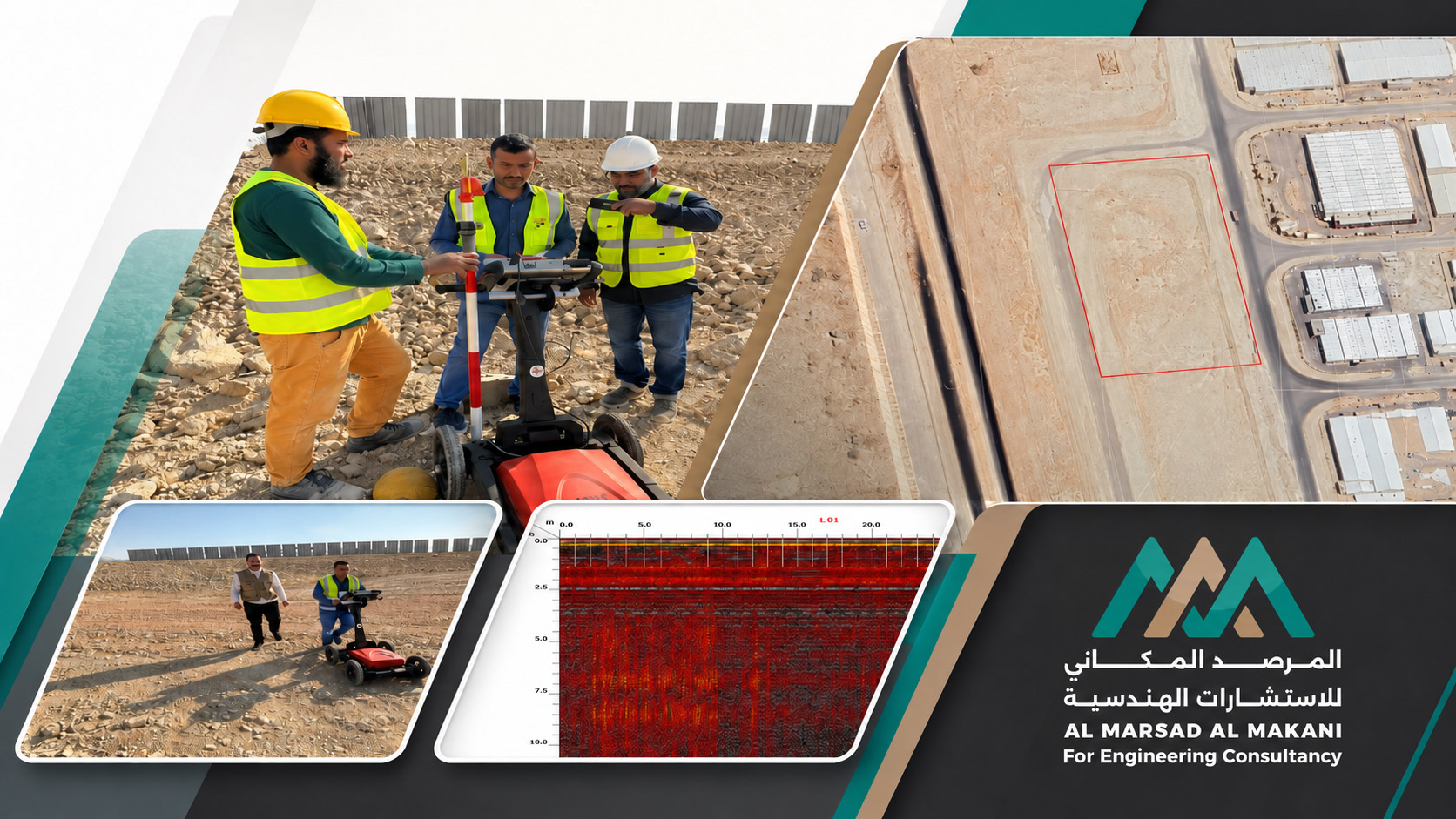
- Ground-Penetrating Radar (GPR) Subsurface SurveyUtilizing state-of-the-art non-destructive ground-penetrating radar systems to penetrate the soil and generate detailed cross-sections of shallow and deep subsurface layers in a completely safe manner.
- Detection of Caverns and Subsurface Air PocketsProcessing and analyzing reflected radar signals to identify underground voids and caverns with high precision, protecting the strategic facility against sudden soil subsidence risks.
- Correlating Radar Inspections with Borehole Profiles (Borehole Sections)Cross-referencing radar profiles with physical soil borehole cross-sections to document the mechanical and geological characteristics of the site's soil with millimeter accuracy.
- Geophysical Interpretation & Reporting (Interpretation & Results)Delivering detailed technical studies and computer-aided data analyses backed by necessary engineering and geotechnical recommendations for soil remediation to support safe foundation and construction decisions.