





Geospatial Geodatabase Structuring and Advanced Analytical Modeling to Support Urban Sustainability.
Project Portfolio of Geographic Information Systems (GIS) and Smart Spatial Modeling
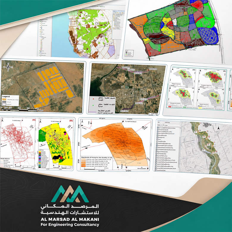
This page showcases a selection of strategic projects executed by Al Marsad Al Makani in the field of designing and building Enterprise Geodatabases and advanced spatial modeling. These projects were conducted in cooperation with major government and development entities, including the Saudi Authority for Industrial Cities and Technology Zones (MODON), the Qassim Region Municipality, and Al-Wadyan Real Estate Company. This portfolio reflects the office's capability in spatial data governance, transforming raw data into smart digital assets that support strategic decision-making and highly efficient facilities management.
Our technical methodology in these projects centers on designing conceptual and detailed geodatabase schema models (UML Modeling), migrating and processing geographic data into integrated digital layers (Data Processing in Layers), and applying smart spatial analysis algorithms—such as GIS Network Analysis and Multi-Criteria Decision Analysis (MCDA)—to evaluate the quality of life and the suitability of investment and urban sites across the Kingdom of Saudi Arabia.
Geospatial Geodatabase Structuring and Advanced Analytical Modeling to Support Urban Sustainability.
Geodatabase Project for the 4th Industrial City in Jeddah - Jeddah Oasis
- Main ClientSaudi Authority for Industrial Cities and Technology Zones (MODON) / In coordination with Dorsch Group.
- Project DescriptionBuilding and developing an integrated geodatabase for a section of the structural master plan (Schema Model) of the 4th Jeddah Industrial City. This involved linking hydraulic and utility network systems to their real-world geographic locations to facilitate smart management and automated maintenance operations across the industrial city.
Geospatial Geodatabase Structuring and Advanced Analytical Modeling to Support Urban Sustainability.
Certified Geographic Modeling Project for Al-Wadyan Project Land in Riyadh
- Main ClientAl-Wadyan Real Estate Company (AL WIDYAN).
- Project DescriptionReviewing received surveying data, and designing and structuring a certified geodatabase for the entire land of the massive Al-Wadyan residential and investment project in Riyadh. The scope included converting, rotating, and georeferencing engineering blueprints into digital layers (Layers) fully compatible with municipal requirements and dynamic geographic systems.
Geospatial Geodatabase Structuring and Advanced Analytical Modeling to Support Urban Sustainability.
Quality of Life Indicators Modeling and Service Assessment Project in Buraidah City
- Main ClientQassim Region Municipality / Buraidah Municipality.
- Project DescriptionA pioneering project to integrate geographic accessibility analysis (GIS Accessibility) and Location-Allocation Models with Multi-Criteria Decision Analysis (MCDA) and the Analytic Hierarchy Process (AHP). The project aimed to evaluate and optimize the distribution of urban services (educational, health, religious, and recreational) across the neighborhoods of Buraidah City to enhance urban planning efficiency.
Al Marsad Al Makani delivers integrated software and engineering solutions for managing and developing Geographic Information Systems (GIS), backed by outstanding national talent and specialized digital capabilities. We transform raw engineering data into smart, interactive maps and databases. Our workflows ensure seamless digital integration between field surveying and urban building code requirements, providing sustainable solutions that minimize time and effort in managing vital assets and strategic projects across the Kingdom.
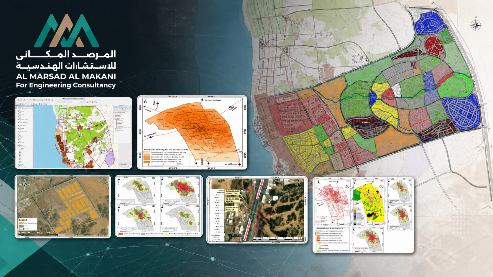
Technical & Specialized Services Provided in These Projects
- Smart Geodatabase Schema DesignBuilding structural schema models and detailed sectors (UML Models) to link all descriptive attributes and utility networks to their true dimensions and geographic locations on the earth's map.
- Data Transformation & ETLManaging the processing of engineering and surveying data, converting it into digital geographic formats (Layers), projecting them onto real-world global coordinates, and executing strict data integrity audits.
- Advanced Transport & GIS Network AnalysisApplying mobility and accessibility simulation solutions to determine optimal service catchments for public facilities, while accurately calculating travel times and geographic coverage.
- MCDA & Spatial Decision SupportUtilizing advanced spatial algorithms and Analytic Hierarchy Process (AHP) workflows to generate spatial suitability maps for quality of life evaluation, effectively guiding municipal and real estate investments.