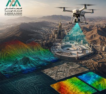





3D digital documentation and preservation of major architectural and heritage landmarks.
3D Laser Scanning for the Historical Al-Ula Mosque Minaret
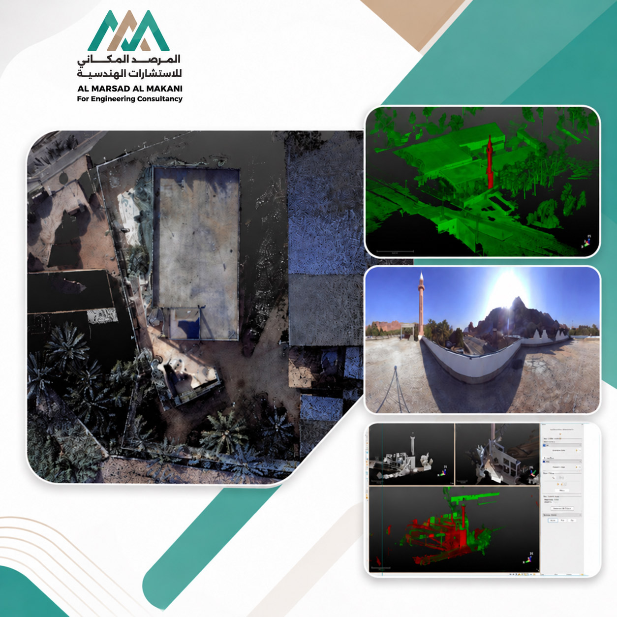
This project represents an advanced and unique model for 3D laser scanning and digital documentation of historical and archaeological structures in the Al-Ula Governorate. Executed for the Royal Commission for AlUla (RCU) and under the full supervision of SHAR Consulting Company along with Saud Consult, the scope involved designing advanced survey mechanisms and coordinating simulation models and digital documentation for the general site layout. This significantly contributes to enhancing blueprint readiness and improving the capability for preservation, restoration, and safe field development of the mosque and its heritage features with absolute precision.
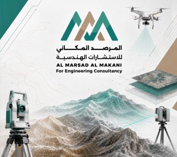
The project focused on addressing engineering and architectural documentation needs from a comprehensive technical perspective. This included deploying advanced Terrestrial Laser Scanners (TLS) to capture the complex engineering details of the minaret and the mosque from various angles, and generating a 3D Point Cloud with millimeter accuracy. This was followed by data processing and verification, exporting it into approved engineering formats such as (RCP Data) to provide As-Built Drawings. This extended to civil, architectural, and structural works, as well as coordination efforts ensuring the integration of the archaeological facility with its surrounding environment in alignment with building codes and the sustainable general aesthetic of the region.
3D digital documentation and preservation of major architectural and heritage landmarks.
Scope of Work
- Laser Scanning and Field Data Acquisition (Data Acquisition)Conducting intensive and comprehensive scanning sessions inside and outside the mosque and minaret using laser technology to document intricate architectural details and geometric motifs.
- Point Cloud Processing and Generation (Point Cloud Processing)Computationally aggregating and processing millions of digital points to build an integrated 3D model that replicates the actual current status of the mosque with extreme millimeter precision.
- Exporting Digital Outputs for Simulation and RestorationGenerating engineering-approved data files and exporting them in formats compatible with CAD and BIM environments to support maintenance plans, shoring, and future restoration works for the heritage facility.
Al Marsad Al Makani provided engineering design, quality control, topographic surveying, and 3D digital documentation services across multiple heritage and vital projects in the Al-Ula Governorate. This was achieved by coordinating and monitoring surveying and laser scanning phases and aligning them with approved code requirements and relevant stakeholders. The scope of work also included developing executable site solutions, cross-referencing extracted spatial and surveying data with architectural and structural blueprints, and supporting technical and field execution to guarantee seamless integration between civil, architectural, electrical, and mechanical (MEP) aspects within the project scope.
Services Provided in the Project
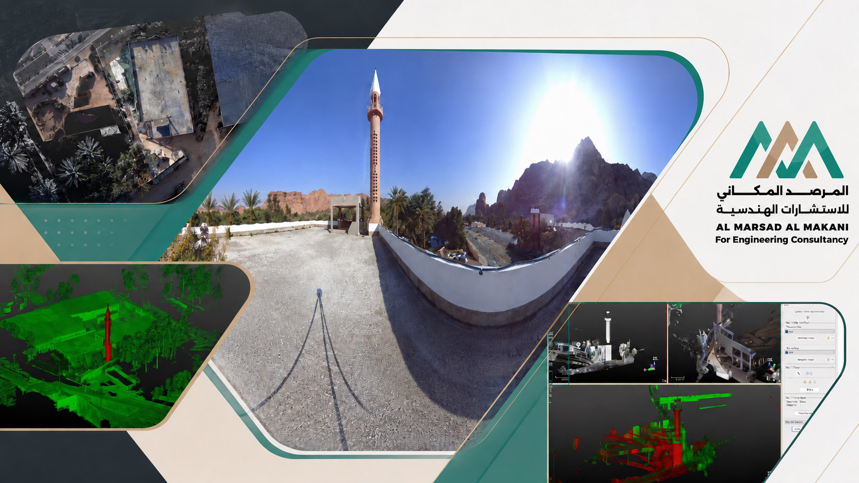
- 3D Laser ScanningUtilizing advanced non-destructive techniques to monitor and document historical and geometrically complex structures and buildings with the highest possible measurement accuracy without compromising their structural integrity.
- As-Built Mapping and Current Status Modeling (As-Built Mapping)Producing detailed engineering drawings, floor plans, and cross-sections representing the actual state of the facility to assist restoration teams, maintenance crews, and regulatory bodies.
- Point Cloud Management & RefinementProcessing and auditing laser point clouds extracted from the field and filtering out noise to ensure the quality and reliability of the digital engineering models and their exact match with reality.
- BIM & CAD Integration for Buildings and Heritage (BIM & CAD Integration)Exporting scan files fully compatible with modern modeling software (such as Autodesk ReCap) to document heritage assets and secure their sustainable development and preservation plans.