




Geological Hazard Assessment and Securing Rock Cuts and Slopes for Tourism Projects and Holy Sites.
Project Portfolio of Geological Studies and Slope Stability Engineering
This page showcases the specialized geological track record of Al Marsad Al Makani in evaluating natural hazards (Geo-Hazards) and assessing the stability of rock masses and slopes. These strategic projects were executed in cooperation with elite consulting and entertainment entities in the Kingdom of Saudi Arabia, notably the Royal Commission for Makkah City and Holy Sites, SaudConsult, and Khaira Mountain Entertainment Company. This portfolio reflects our field and scientific capabilities in safeguarding lives and infrastructure by delivering definitive engineering solutions to stabilize rocks and prevent landslides in complex mountainous terrains.
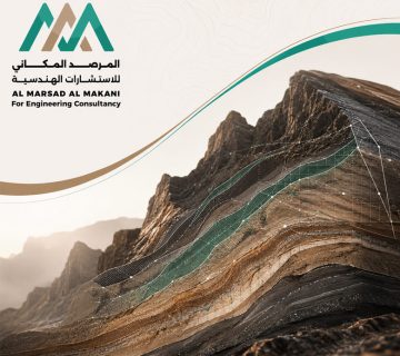
Our geological methodology centers on studying the stratigraphic and structural characteristics of rock masses (Stratigraphic & Structural Analysis), and performing Kinematic Analysis to identify the probability of planar, wedge, or toppling failures. Additionally, it involves calculating the Rock Mass Rating (RMR) to provide critical engineering recommendations, which include support systems such as rock bolts, shotcrete, and protective wire mesh net systems.
Geological Hazard Assessment and Securing Rock Cuts and Slopes for Tourism Projects and Holy Sites.
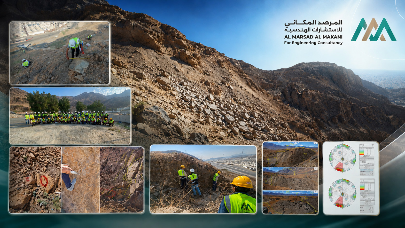
Rock Slope Stability Assessment Project for Al-Baha Resorts and Jabal Khayrah
- Main Owner / ClientKhaira Mountain Entertainment Company.
- Consulting & Engineering AllianceIn cooperation with SaudConsult and the Arabian Building Support & Contracting Co. (BEC).
- Project DescriptionProviding specialized geological and geotechnical consulting services to evaluate the stability of mountain slopes and rock cuts across 5 major zones designated for "Al-Baha Resorts, Jabal Khayrah, and the Ibda' Adventure Park." The scope encompassed studying geological structures, collecting field samples, and conducting engineering analyses to secure infrastructure and tourism facilities against sudden rockfall hazards.
Geological Hazard Assessment and Securing Rock Cuts and Slopes for Tourism Projects and Holy Sites.
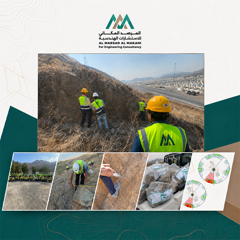
Geological Hazard Assessment and Securing Rock Cuts in the Holy Sites Project - Makkah Al-Mukarramah
- Main Owner / ClientThe Holy Sites (Mina Area) - Makkah Al-Mukarramah.
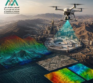
- Project DescriptionA strategic field project that involved the full mobilization of Al Marsad Al Makani's geological and surveying teams to conduct reconnaissance tours and inspect rock cuts and mountain slopes adjacent to roadways and crowd-gathering zones in the Holy Sites. The project focused on tracking rock fractures and active faults, collecting documented field samples, and generating geological hazard maps to secure the pilgrims of the Grand Mosque and protect vital facilities in the surrounding area from rockfall hazards.
Al Marsad Al Makani stands out by utilizing state-of-the-art field geological equipment and advanced engineering software. This enables us to plot Stereonet Measurements for rock joints and accurately simulate rockfall trajectories. Through our specialized reporting, we contribute to developing the safest and most cost-effective remedial and preventative solutions for developers and contractors operating in mountainous regions.
Technical & Specialized Services Provided in These Projects
- Rockfall & Geo-Hazard AssessmentMonitoring and identifying unstable rock blocks on high ridges and measuring their accumulation to predict landslide paths and design optimal protective barriers.
- Kinematic Analysis for SlopesStudying the potential structural failure modes of rock slopes across all types, including Planar, Wedge, and Toppling failures.
- Rock Mass Rating (RMR) CalculationEvaluating rock strength and joint properties engineering-wise using the Bieniawski scale and Schmidt Hammer tests to determine the bearing capacity of the rock mass.
- Stratigraphic & Structural AnalysisAnalyzing the nature of rock formations and structural transformations at the site to produce precise digital stratigraphic maps and cross-sections for the project.
- Engineering Surveying Using Stereonet MeasurementsMeasuring the orientation, strike, and dip of rock discontinuities and plotting them digitally to analyze mountain behavior and rock cut stability during excavation and construction.
- Meteorological Data AnalysisStudying local climatic conditions and annual wind patterns at construction sites to ensure the precision of atmospheric data dispersion models for the project environment.