





Topographic Surveying Systems and Geomatics Data Governance.
Topographic Survey for Al Wadyan Project in Riyadh (Al Hijra Site)
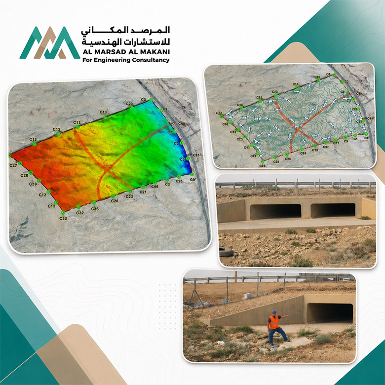
This project represents a package of topographic surveying and geospatial documentation works associated with urban development projects and mega master plans in the capital city of Riyadh (Al Wadyan Project) for Al Wadyan Real Estate Company. The scope involved designing survey mechanisms and coordinating ground control networks and supporting utilities for the master plan. This directly helps enhance blueprint readiness, optimize field execution capability and operations with high precision, and secure investment choices.
The project focused on addressing topographic surveying requirements from a comprehensive engineering perspective. This included monitoring natural terrain features, contour lines, and defining longitudinal and cross-sectional profiles for roads and surrounding areas. Additionally, it involved establishing ground control networks for the earth's surface, alongside civil, architectural, structural, and coordination works to deliver an urban plan that is more organized and efficient in terms of building codes and general aesthetics.
Topographic Surveying Systems and Geomatics Data Governance.
Scope of Work
- Comprehensive Topographic Surveying WorksMonitoring and measuring all natural and man-made features and terrain variations across vast areas of the Al Wadyan project with extreme millimeter accuracy.
- Establishing Control Networks and Ground DatumsCreating permanent Ground Control Points (GCPs) and calibrating them using GPS/GNSS devices to reference blueprints to national and global coordinate systems.
- Generating Digital Models and Volume CalculationsDigitally processing field data to produce contour maps and Digital Elevation Models (DEM), and calculating cut-and-fill earthwork volumes to prepare the site for construction.
Al Marsad Al Makani provided engineering design, quality control, topographic surveying, and geographic documentation services within urban development projects and mega master plans in Riyadh city. This was achieved by coordinating and monitoring surveying phases and aligning them with approved code requirements and relevant stakeholders. The scope of work also included developing executable site solutions, cross-referencing extracted spatial and surveying data with architectural and structural blueprints, and supporting technical and field execution to guarantee seamless integration between civil, architectural, electrical, and mechanical (MEP) aspects within the project scope.
Services Provided in the Project
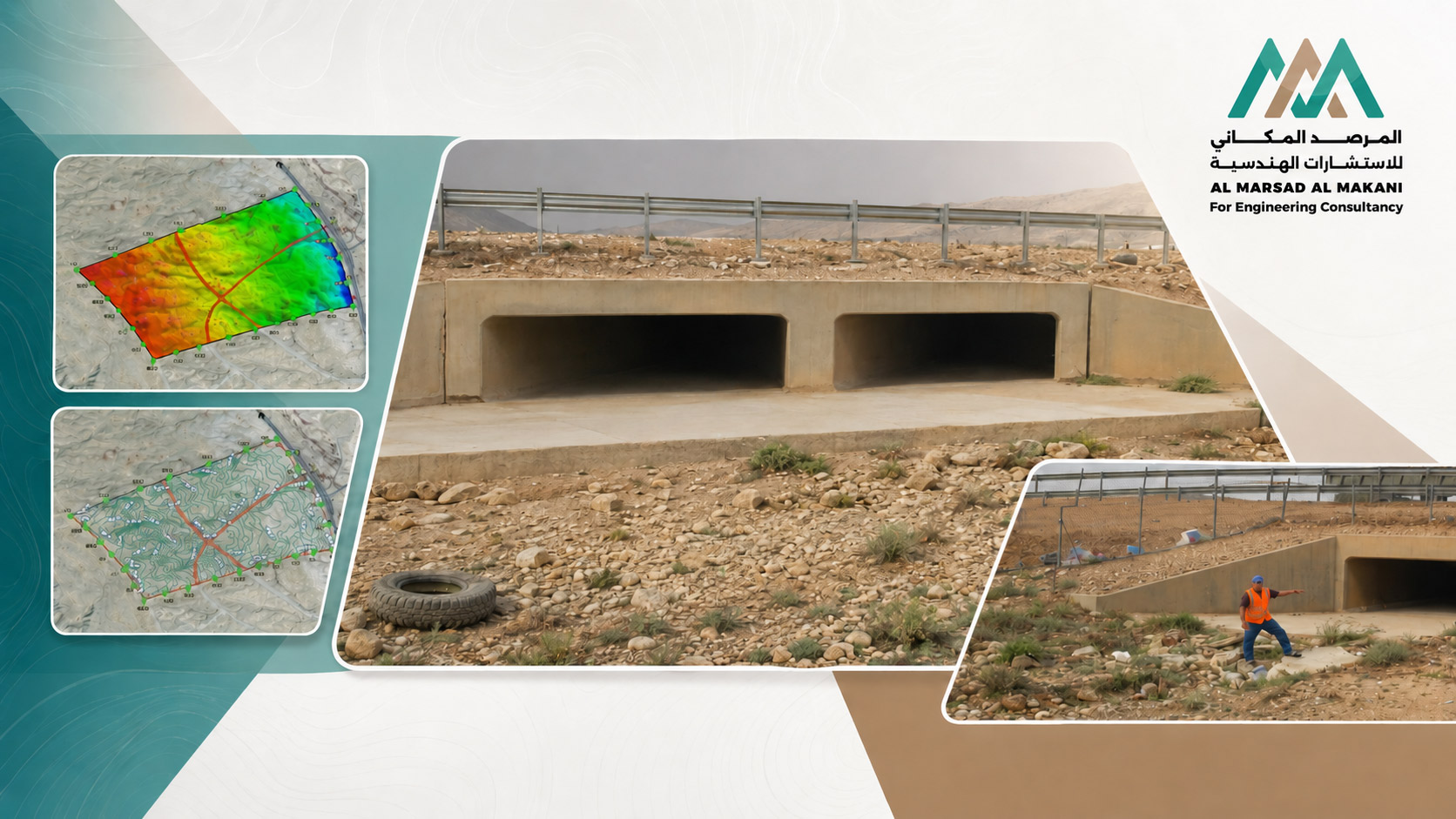
- Topographic SurveyUtilizing state-of-the-art Total Stations to determine and survey ground levels with extreme precision and document all surface features of the site.
- Coordinate Referencing and Positioning Systems (GPS/GNSS)Applying advanced satellite positioning systems to link project locations and axes to the national geodetic network to guarantee precise staking out of structures and utilities.
- Cartography & Data ProcessingConverting raw field survey data into digital engineering blueprints and interactive contour maps to assist design and infrastructure planning engineers.
- Volume Calculation & DEM (Terrain Modeling)Generating Digital Elevation Models (DEM) and calculating the earthwork grading volumes (cut and fill) required to prepare the general site layout for execution.